长江中下游湖泊历史水生植被据集(2000-2015年)
收藏国家地球系统科学数据中心2023-11-27 更新2024-03-04 收录
下载链接:
https://www.geodata.cn/data/datadetails.html?dataguid=144480659448358&docId=4361
下载链接
链接失效反馈官方服务:
资源简介:
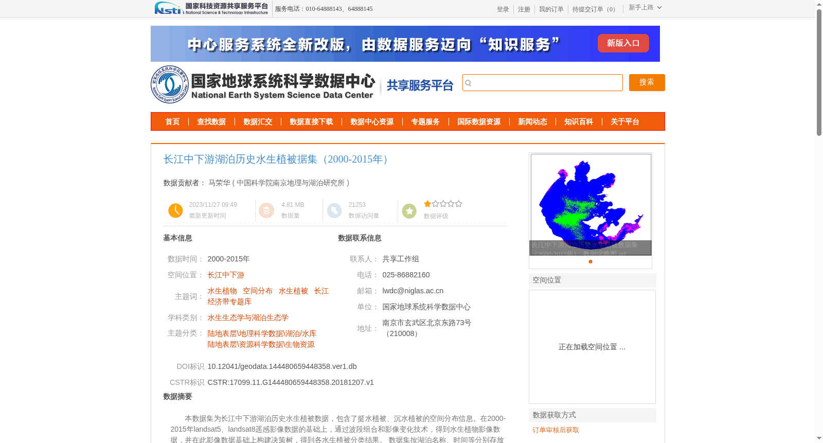
本数据集为长江中下游湖泊历史水生植被数据,包含了挺水植被、沉水植被的空间分布信息。在2000-2015年landsat5、landsat8遥感影像数据的基础上,通过波段组合和影像变化技术,得到水生植物影像数据,并在此影像数据基础上构建决策树,得到各水生植被分类结果。
数据集按湖泊名称、时间等分别存放数据文件,包含48个文件夹,48景栅格数据。
This dataset is historical aquatic vegetation data for lakes in the middle and lower reaches of the Yangtze River, covering spatial distribution information of emergent and submerged vegetation. Based on Landsat 5 and Landsat 8 remote sensing imagery data from 2000 to 2015, aquatic plant imagery data was obtained through band combination and image change techniques, and a decision tree was constructed on this basis to derive classification results for different types of aquatic vegetation. The dataset stores data files according to criteria such as lake name and time, including 48 folders and 48 raster scenes.
提供机构:
中国科学院南京地理与湖泊研究所
创建时间:
2018-12-07
搜集汇总
数据集介绍
背景与挑战
背景概述
该数据集提供了长江中下游地区2000至2015年间48个湖泊的水生植被(挺水植被和沉水植被)空间分布信息,数据来源于Landsat遥感影像并通过专业影像处理技术生成,采用WGS84坐标系,数据质量经过严格检查。
以上内容由遇见数据集搜集并总结生成


