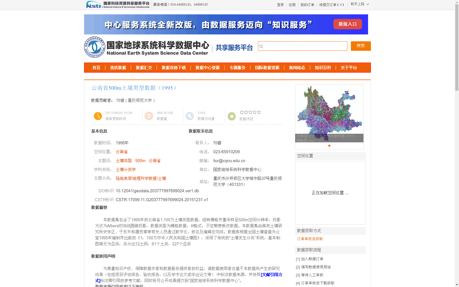
云南省500m土壤类型数据(1995)
收藏资源简介:
本数据集包含了1995年的云南省1:100万土壤类型数据,经转栅格并重采样至500m空间分辨率,投影方式为Albers双纬线圆锥投影,数据类型为栅格数据,tif格式,不定期更新该数据。本数据集由南京土壤研究所史学正、于东升和潘贤章等有关人员通过数字化、修边及编辑后完成。数据库根据全国土壤普查办公室1995年编制并出版的《1:100万中华人民共和国土壤图》,采用了传统的“土壤发生分类”系统,基本制图单元为亚类,共分出12土纲,61个土类,227个亚类
This dataset contains 1:1,000,000-scale soil type data of Yunnan Province in 1995. It has been rasterized and resampled to a spatial resolution of 500 m, using the Albers conical projection with two standard parallels. The data is raster data in TIFF format, and the dataset is updated irregularly. This dataset was completed by researchers including Shi Xuezheng, Yu Dongsheng, Pan Xianzhang and other relevant staff from the Nanjing Institute of Soil Science through digitization, edge trimming and editing. The database is developed based on the *1:1,000,000 Soil Map of the People's Republic of China* compiled and published by the National Soil Survey Office in 1995, adopting the traditional "genetic soil classification" system. The basic mapping unit is soil subgroup, and a total of 12 soil orders, 61 soil groups and 227 soil subgroups have been identified.