南海地球物理图集
收藏国家地球系统科学数据中心2022-12-14 更新2024-03-04 收录
下载链接:
https://www.geodata.cn/data/datadetails.html?dataguid=83034865384144&docId=6856
下载链接
链接失效反馈官方服务:
资源简介:
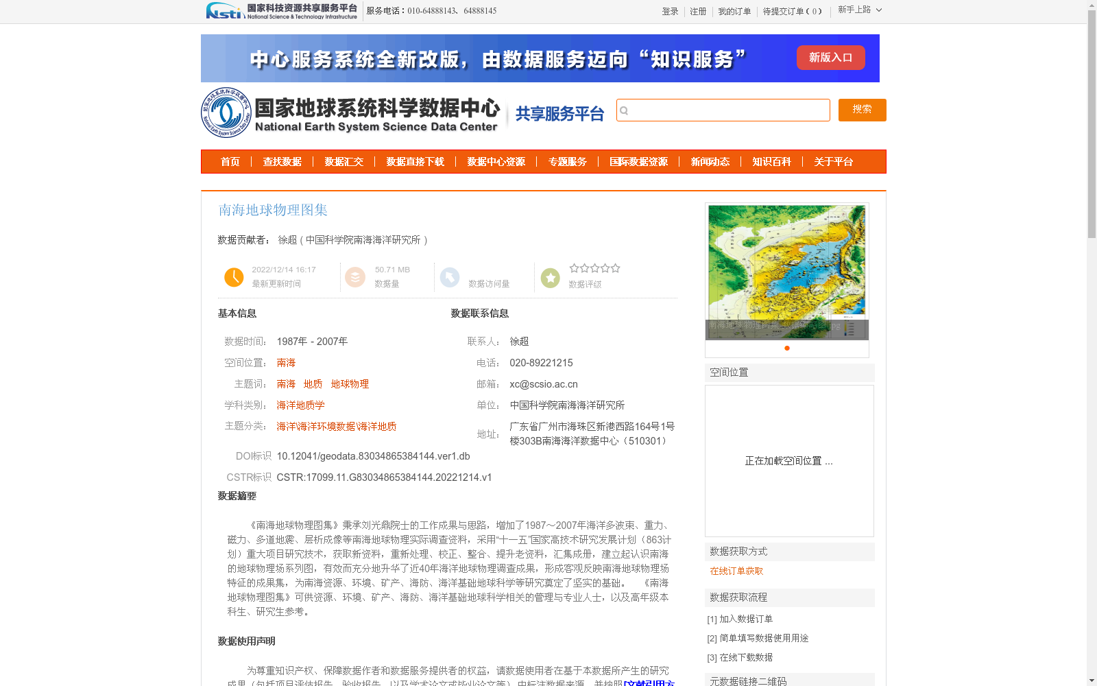
《南海地球物理图集》秉承刘光鼎院士的工作成果与思路,增加了1987~2007年海洋多波束、重力、磁力、多道地震、层析成像等南海地球物理实际调查资料,采用“十一五”国家高技术研究发展计划(863计划)重大项目研究技术,获取新资料,重新处理、校正、整合、提升老资料,汇集成册,建立起认识南海的地球物理场系列图,有效而充分地升华了近40年海洋地球物理调查成果,形成客观反映南海地球物理场特征的成果集,为南海资源、环境、矿产、海防、海洋基础地球科学等研究奠定了坚实的基础。 《南海地球物理图集》可供资源、环境、矿产、海防、海洋基础地球科学相关的管理与专业人士,以及高年级本科生、研究生参考。
*South China Sea Geophysical Atlas* builds upon the research achievements and academic ideas of Academician Liu Guangding. It incorporates newly collected in-situ geophysical survey data of the South China Sea from 1987 to 2007, including marine multi-beam, gravity, magnetic, multi-channel seismic, and tomography data. Adopting technologies developed under key projects of the National High-Tech Research and Development Program of China (863 Program) during the 11th Five-Year Plan period, the atlas newly acquired survey data, reprocessed, corrected, integrated, and upgraded legacy datasets, and compiled all materials into a single volume. It has established a series of geophysical field maps of the South China Sea, effectively and comprehensively elevating the outcomes of nearly 40 years of marine geophysical surveys. The final product is a comprehensive compilation that objectively reflects the geophysical field characteristics of the South China Sea, laying a solid foundation for research on South China Sea resources, environment, minerals, coastal defense, and basic marine geosciences. This atlas is intended as a reference resource for management and professional personnel engaged in research related to South China Sea resources, environment, minerals, coastal defense, and basic marine geosciences, as well as senior undergraduate and graduate students.
提供机构:
中国科学院南海海洋研究所
创建时间:
2022-12-14
搜集汇总
数据集介绍
背景与挑战
背景概述
《南海地球物理图集》整合了1987-2007年南海地球物理调查数据,涵盖多波束、重力、磁力等多类资料,为南海资源与环境研究提供重要基础。数据集适用于科研与教育用途,需按规定引用数据来源。
以上内容由遇见数据集搜集并总结生成


