2025年1月7日定日县地震区水系数据
收藏国家青藏高原科学数据中心2025-01-09 更新2025-01-25 收录
下载链接:
https://data.tpdc.ac.cn/zh-hans/data/db26261a-606d-42dc-9915-cc2bbe68fefa
下载链接
链接失效反馈官方服务:
资源简介:
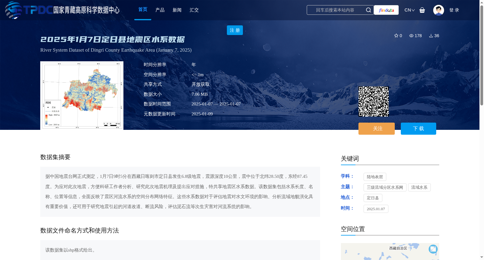
据中国地震台网正式测定,1月7日9时5分在西藏日喀则市定日县发生6.8级地震,震源深度10公里,震中位于北纬28.50度,东经87.45度。为应对此次地震,方便科研工作者分析、研究此次地震机理及提出应对措施,特共享地震区水系数据。该数据集包括水系长度、名称、位置等信息,全面反映了震区河流水系的空间分布网络特征。这些水系数据对于评估地震对水文环境的影响、分析流域地貌演化具有重要价值,还可用于研究地震引起的河道改道、断流风险,评估泥石流等次生灾害对河流系统的影响。
Officially determined by the China Earthquake Networks Center, a magnitude 6.8 earthquake occurred in Tingri County, Xigazê City, Tibet Autonomous Region at 9:05 on January 7, with a focal depth of 10 kilometers and an epicenter located at 28.50°N latitude and 87.45°E longitude. To respond to this earthquake and facilitate scientific researchers to analyze and study the seismogenic mechanism of this earthquake and propose countermeasures, the hydrological system data of the earthquake-stricken area is hereby shared. This dataset includes information such as the length, name and location of water systems, and comprehensively reflects the spatial distribution and network characteristics of the river systems in the earthquake-stricken area. These hydrological data are of great value for assessing the impact of earthquakes on hydrological environments, analyzing the evolution of watershed landforms, studying the risks of river course diversion and cutoff caused by earthquakes, and evaluating the impact of secondary disasters such as debris flows on river systems.
提供机构:
高分辨率对地观测系统甘肃数据与应用中心
创建时间:
2025-01-09
搜集汇总
数据集介绍
背景与挑战
背景概述
该数据集是针对2025年1月7日西藏定日县6.8级地震事件而发布的水系数据,以shp格式提供,包含水系长度、名称和位置等详细信息,空间分辨率高达1米,旨在支持地震机理分析、水文环境影响评估以及次生灾害如河道改道和泥石流风险的研究。
以上内容由遇见数据集搜集并总结生成


