川藏交通廊道泥石流分布数据(2020)
收藏资源简介:
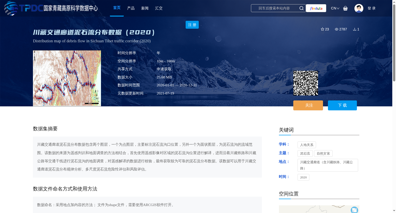
川藏交通廊道泥石流分布数据包含两个图层,一个为点图层,主要标注泥石流沟口位置,另外一个为面状图层,为泥石流沟的流域范围。该数据的来源为遥感判识和地面调查的方法相结合,首先使用遥感影像对区域的泥石流沟位置进行解译,进而沿着川藏铁路和川藏公路等交通干线进行泥石流沟的地面调查,对遥感解译的数据进行校验,最终获取较为可靠的泥石流分布数据。该数据可以用于川藏交通廊道泥石流分布规律分析、多尺度泥石流危险性评估和风险评估。
The debris flow distribution dataset of the Sichuan-Tibet Transportation Corridor contains two layers: a point layer mainly marking the locations of debris flow gully mouths, and a polygonal layer representing the watershed areas of debris flow gullies. The dataset is developed by combining remote sensing interpretation and field survey methods. First, remote sensing images are used to interpret the locations of debris flow gullies in the study area. Then, field surveys of debris flow gullies are conducted along transportation trunk lines such as the Sichuan-Tibet Railway and Sichuan-Tibet Highway to verify the remotely sensed interpretation results, ultimately obtaining relatively reliable debris flow distribution data. This dataset can be applied to the analysis of debris flow distribution patterns in the Sichuan-Tibet Transportation Corridor, multi-scale debris flow hazard assessment and risk assessment.