青藏高原3km分辨率逐月平均风速格点数据(1995-2016)
收藏国家青藏高原科学数据中心2021-05-08 更新2024-03-01 收录
下载链接:
https://data.tpdc.ac.cn/zh-hans/data/1c083fcc-7061-4dc2-bc39-3abf6c600fcf
下载链接
链接失效反馈官方服务:
资源简介:
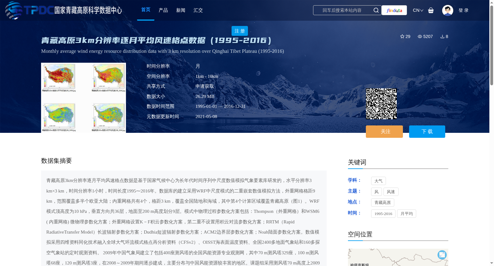
青藏高原3km分辨率逐月平均风速格点数据是基于国家气候中心为长年代时间序列中尺度数值模拟气象要素库研发的,水平分辨率3 km×3 km,时间分辨率1小时,时间长度1995⁓2016年。数据库的建立采用WRF中尺度模式的二重嵌套数值模拟方法,外重网格格距9 km,范围覆盖多半个欧亚大陆;内重网格共有4个,格距3 km,覆盖全国陆地和海域,其中第4个计算区域覆盖青藏高原(图1)。WRF模式顶高度为10 hPa,垂直方向共36层,地面至200 m高度划分9层。模式中物理过程参数化方案包括:Thompson(外重网格)和WSM6 ( 内重网格) 微物理参数化方案;外重网格设置K-F积云参数化方案,第二重不设置用积云对流参数化方案;RRTM(Rapid RadiativeTransfer Model)长波辐射参数化方案;Dudhia短波辐射参数化方案;ACM2边界层参数化方案;Noah陆面参数化方案。数值模拟采用四维资料同化技术融入全球大气环流模式格点再分析资料(CFSv2)、OISST海表面温度资料、全国2400多地面气象站和160多探空气象站的定时观测资料。
2009年中国气象局建立了包括400座测风塔的全国风能资源专业观测网,其中70 m测风塔329座,100 m测风塔68座,120 m测风塔3座,在2008~2009年期间逐步建成,主要分布与中国风能资源较丰富的地区。课题组采用测风塔70 m高度上2009年1月至2010年12月期间一个完整年的逐小时风向风速观测数据对相同时段中尺度WRF模式逐小时输出的风速模拟结果(水平分辨率3 km×3 km)进行误差检验,剔除观测资料完整率小于90%和年平均风速小于3.8 m/s的测风塔,实际用于误差检验的测风塔共有354座,每座塔的样本数8700小时左右。测风塔实测风速与数值模拟风速的相对误差检验分析表明:49%的测风塔检验得到相对误差小于5%;28%的测风塔检验得到相对误差为5~10%;14.4%测风塔的相对误差为10~15%;5.6%测风塔的相对误差为15~20%;3%测风塔的相对误差大于20%。相对误差较大的测风塔主要分布于内陆地形复杂的山区和沿海山地。此外,全国范围内逐小时风速对比的相关系数为0.6,按照16方位分别进行平均的风速的相关系数为0.8,超过99.9%的统计显著性检验,说明数值模拟的风速时空变化特征与实测风速的变化一致。西藏没有测风塔,青海省共13座测风塔,其中6座塔的相对误差小于5%,3座塔相对误差5~10%,3座塔相对误差10~15%,1座塔15~20%。
The 3 km-resolution monthly mean wind speed grid dataset over the Qinghai-Tibet Plateau was developed based on the long-time-series mesoscale numerical simulation meteorological element library developed by the National Climate Center. Its horizontal resolution is 3 km×3 km, temporal resolution is 1 hour, and the time span covers 1995 to 2016.
The database was constructed using the two-way nested numerical simulation method of the WRF (Weather Research and Forecasting) mesoscale model. The outer grid has a grid spacing of 9 km, covering more than half of the Eurasian continent; there are 4 inner grids with a grid spacing of 3 km, covering the entire land and sea areas of China, among which the 4th computational domain covers the Qinghai-Tibet Plateau (Figure 1). The top height of the WRF model is 10 hPa, with a total of 36 vertical layers, and 9 layers are designated from the ground up to 200 m altitude. The physical process parameterization schemes adopted in the model include: Thompson microphysics parameterization scheme for the outer grid and WSM6 microphysics parameterization scheme for the inner grids; the K-F cumulus parameterization scheme is configured for the outer grid, and no cumulus convection parameterization scheme is used for the second inner grid; the RRTM (Rapid Radiative Transfer Model) longwave radiation parameterization scheme; the Dudhia shortwave radiation parameterization scheme; the ACM2 planetary boundary layer parameterization scheme; and the Noah land surface parameterization scheme. Four-dimensional data assimilation technology was employed in the numerical simulation to integrate global atmospheric circulation model grid reanalysis data (CFSv2), OISST sea surface temperature data, and hourly observation data from over 2400 national surface meteorological stations and more than 160 sounding meteorological stations.
In 2009, the China Meteorological Administration established a national professional wind energy resource observation network comprising 400 wind measurement towers, including 329 70 m-height towers, 68 100 m-height towers, and 3 120 m-height towers. The network was gradually completed between 2008 and 2009, and is primarily distributed in regions with relatively abundant wind energy resources across China.
The research team used the hourly wind direction and speed observation data at 70 m height from January 2009 to December 2010 (a full year) to conduct error verification on the hourly wind speed simulation results output by the mesoscale WRF model during the same period, which has a horizontal resolution of 3 km×3 km. Wind measurement towers with observation data completeness less than 90% and annual average wind speed less than 3.8 m/s were excluded, and a total of 354 wind measurement towers were actually used for error verification, with approximately 8700 hourly samples per tower.
The relative error verification analysis between the measured wind speed from the wind measurement towers and the simulated wind speed shows that: 49% of the towers have relative errors less than 5%; 28% have relative errors of 5–10%; 14.4% have relative errors of 10–15%; 5.6% have relative errors of 15–20%; and 3% have relative errors greater than 20%. Wind measurement towers with large relative errors are mainly distributed in complex inland mountainous areas and coastal mountainous regions. In addition, the correlation coefficient of hourly wind speed across the entire country is 0.6, while the correlation coefficient of wind speed averaged over 16 azimuth directions is 0.8, exceeding the 99.9% statistical significance test, indicating that the temporal and spatial variation characteristics of the simulated wind speed are consistent with those of the measured wind speed. There are no wind measurement towers in the Tibet Autonomous Region, and there are 13 wind measurement towers in Qinghai Province. Among them, 6 towers have relative errors less than 5%, 3 towers have relative errors of 5–10%, 3 towers have relative errors of 10–15%, and 1 tower has a relative error of 15–20%.
提供机构:
朱蓉,孙朝阳
创建时间:
2021-04-28
搜集汇总
数据集介绍
背景与挑战
背景概述
该数据集是青藏高原地区1995年至2016年的逐月平均风速格点数据,空间分辨率为3公里,基于WRF中尺度数值模拟生成,并融合了全球再分析资料和地面气象站观测数据。数据经过测风塔验证,大部分相对误差低于10%,能准确反映风速时空变化特征,适用于风能资源评估和气候研究。
以上内容由遇见数据集搜集并总结生成


