中国西北地区WRF模式气温和降水数据集(1979-2013)
收藏国家青藏高原科学数据中心2020-03-28 更新2024-03-06 收录
下载链接:
https://data.tpdc.ac.cn/zh-hans/data/40895e03-f919-4721-893f-a6fee9feab81
下载链接
链接失效反馈官方服务:
资源简介:
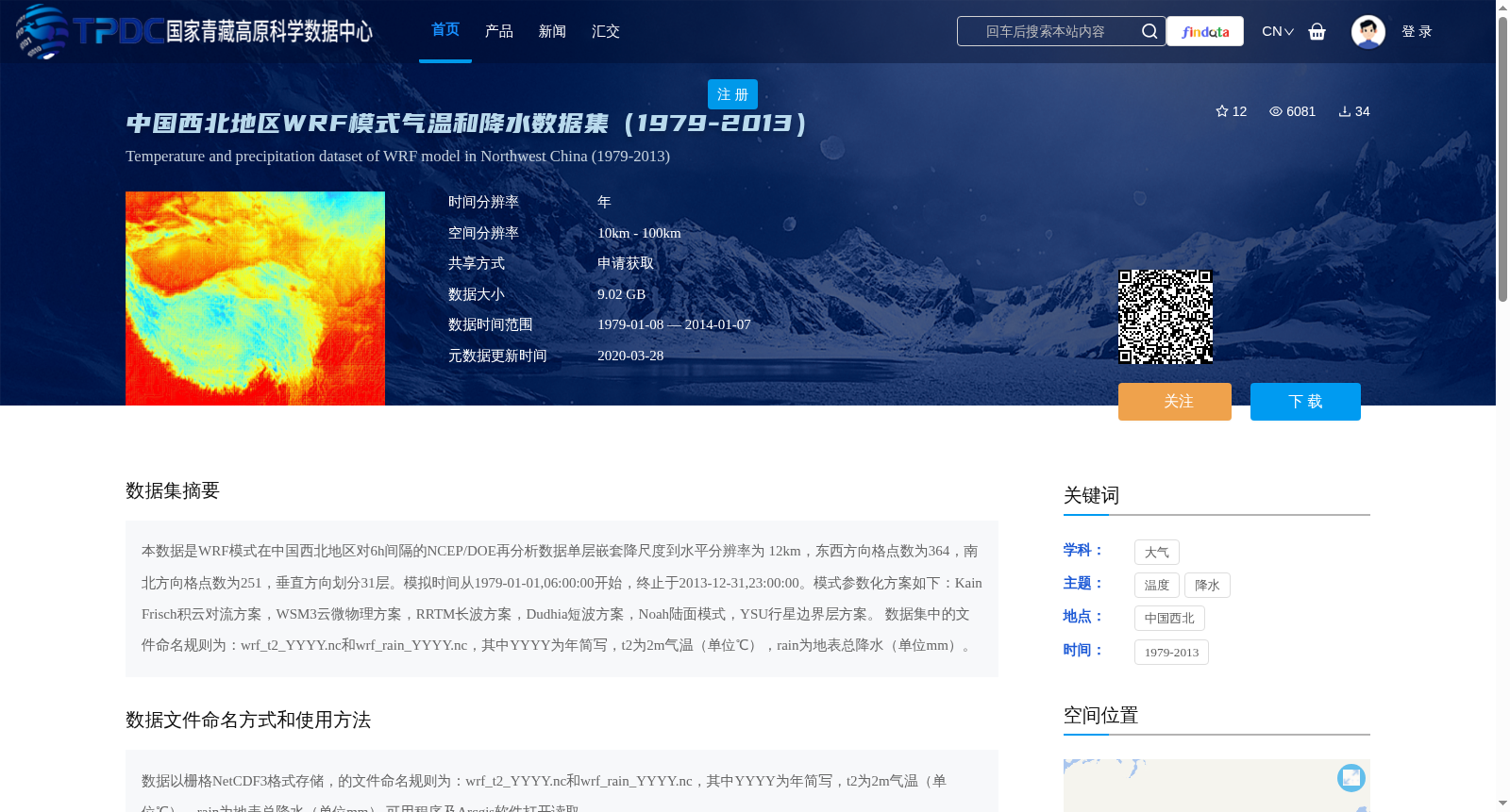
本数据是WRF模式在中国西北地区对6h间隔的NCEP/DOE再分析数据单层嵌套降尺度到水平分辨率为 12km,东西方向格点数为364,南北方向格点数为251,垂直方向划分31层。模拟时间从1979-01-01,06:00:00开始,终止于2013-12-31,23:00:00。模式参数化方案如下:Kain Frisch积云对流方案,WSM3云微物理方案,RRTM长波方案,Dudhia短波方案,Noah陆面模式,YSU行星边界层方案。
数据集中的文件命名规则为:wrf_t2_YYYY.nc和wrf_rain_YYYY.nc,其中YYYY为年简写,t2为2m气温(单位℃),rain为地表总降水(单位mm)。
This dataset applies the WRF model to perform one-way nesting downscaling over Northwest China, forced by 6-hourly NCEP/DOE reanalysis data. The downscaled simulation domain has a horizontal resolution of 12 km, with 364 grid points in the east-west direction, 251 grid points in the north-south direction, and 31 vertical levels. The simulation period begins at 06:00:00 on January 1, 1979, and ends at 23:00:00 on December 31, 2013. The adopted model parameterization schemes are listed below: Kain-Frisch cumulus convection scheme, WSM3 cloud microphysics scheme, RRTM longwave radiation scheme, Dudhia shortwave radiation scheme, Noah land surface model, and YSU planetary boundary layer scheme.
The file naming convention for this dataset is: wrf_t2_YYYY.nc and wrf_rain_YYYY.nc, where YYYY denotes the four-digit year, t2 refers to 2-meter air temperature (unit: °C), and rain represents total surface precipitation (unit: mm).
提供机构:
白磊
创建时间:
2016-05-22
搜集汇总
数据集介绍
背景与挑战
背景概述
该数据集是中国西北地区1979-2013年的高分辨率气温和降水模拟数据,由WRF模式生成,空间分辨率为10km-100km,包含2m气温和地表总降水两个变量,数据以NetCDF格式存储。
以上内容由遇见数据集搜集并总结生成


