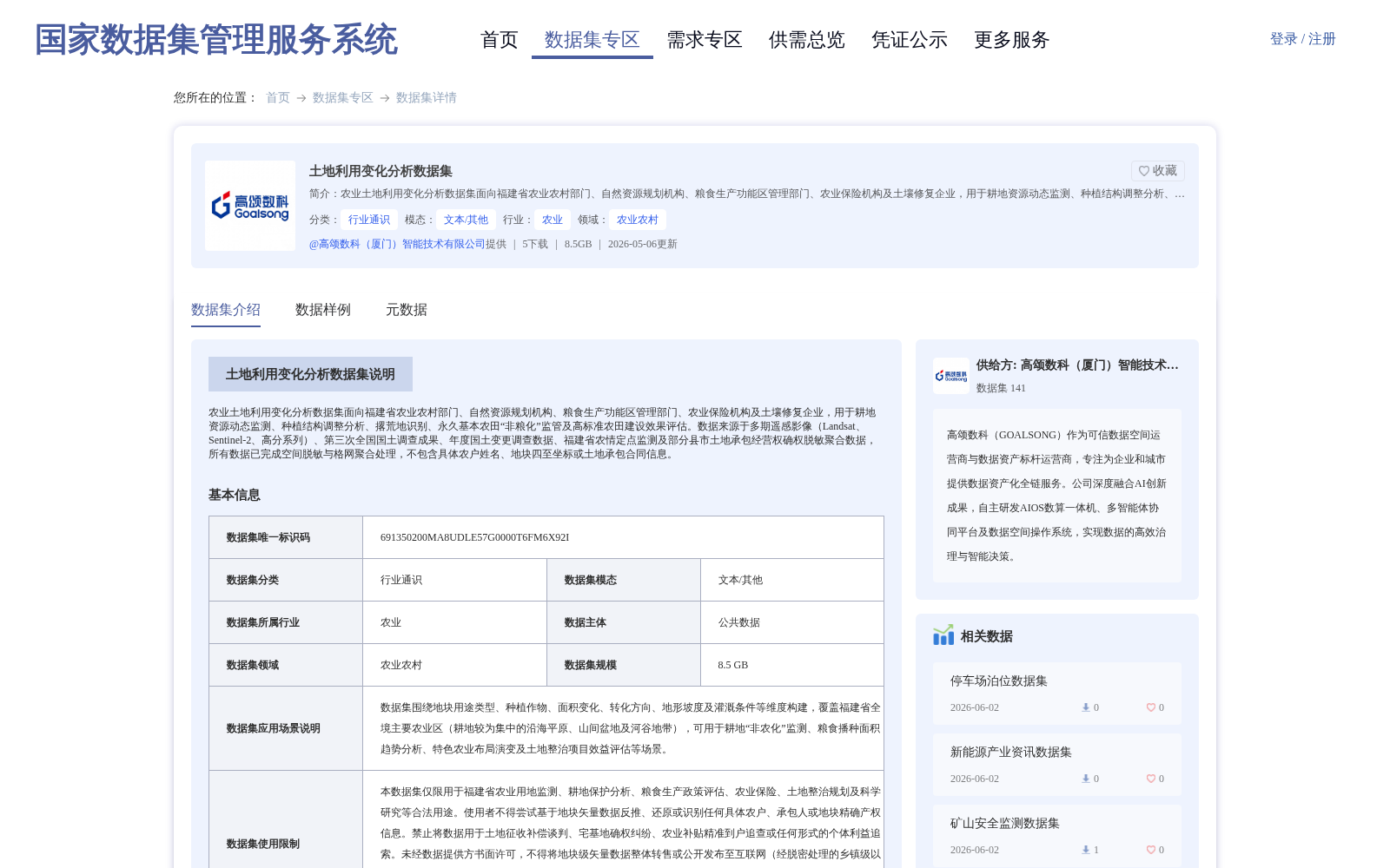
土地利用变化分析数据集
收藏国家数据集管理服务平台2026-05-06 更新2026-05-08 收录
下载链接:
https://www.ndsms.cn/dataRetrieval/datasetDetail/?id=c9d5eb60858858aaf292a69eb3ea6945
下载链接
链接失效反馈官方服务:
资源简介:
农业土地利用变化分析数据集面向福建省农业农村部门、自然资源规划机构、粮食生产功能区管理部门、农业保险机构及土壤修复企业,用于耕地资源动态监测、种植结构调整分析、撂荒地识别、永久基本农田“非粮化”监管及高标准农田建设效果评估。数据来源于多期遥感影像(Landsat、Sentinel-2、高分系列)、第三次全国国土调查成果、年度国土变更调查数据、福建省农情定点监测及部分县市土地承包经营权确权脱敏聚合数据,所有数据已完成空间脱敏与格网聚合处理,不包含具体农户姓名、地块四至坐标或土地承包合同信息。
This Agricultural Land Use Change Analysis Dataset is tailored for the Fujian Provincial Department of Agriculture and Rural Affairs, natural resource planning agencies, grain production functional zone management departments, agricultural insurance institutions, and soil remediation enterprises. It supports dynamic monitoring of cultivated land resources, analysis of planting structure adjustment, identification of abandoned farmland, supervision over the "non-grain" utilization of permanent basic farmland, and evaluation of the construction effect of high-standard farmland. The dataset is sourced from multi-temporal remote sensing images (Landsat, Sentinel-2, Gaofen series), the results of the Third National Land Survey, annual land change survey data, Fujian Provincial fixed-point agricultural situation monitoring data, and de-identified and aggregated land contract management rights confirmation data from some counties and cities. All data has undergone spatial de-identification and grid aggregation processing, and does not contain specific farmer names, plot boundary coordinates, or land contract information.
提供机构:
高颂数科(厦门)智能技术有限公司
创建时间:
2026-05-06
搜集汇总
数据集介绍
背景与挑战
背景概述
该数据集是针对福建省农业土地利用变化进行分析的专题数据,服务于耕地资源监测、种植结构调整及撂荒地识别等应用。数据整合了多期遥感影像、国土调查成果及农情监测资料,经过脱敏与聚合处理,覆盖全省主要农业区并包含多年时序信息。
以上内容由遇见数据集搜集并总结生成


