浙江省1:5万海洋功能区划数据(2012年)
收藏国家地球系统科学数据中心2025-04-01 更新2024-03-04 收录
下载链接:
https://www.geodata.cn/data/datadetails.html?dataguid=236791769386499&docId=1747
下载链接
链接失效反馈官方服务:
资源简介:
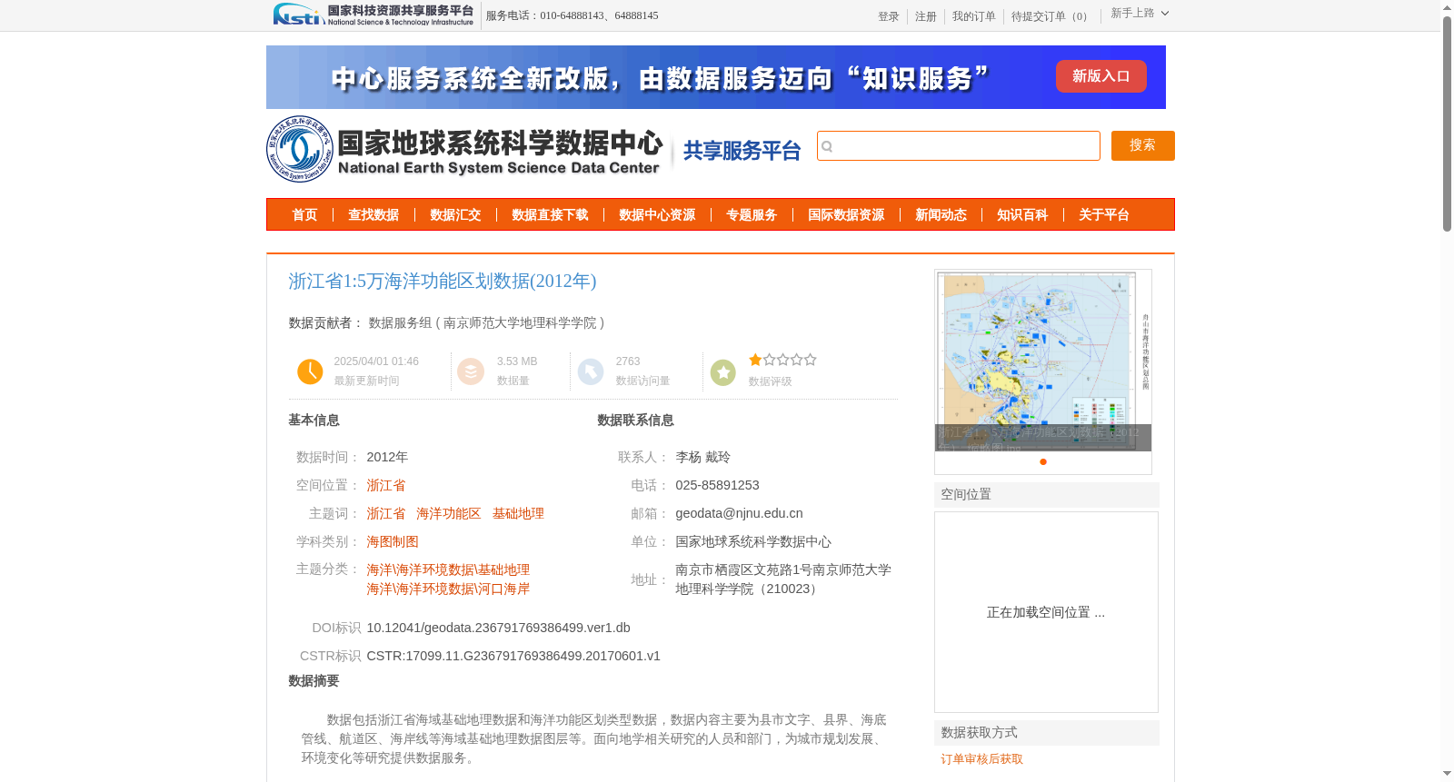
数据包括浙江省海域基础地理数据和海洋功能区划类型数据,数据内容主要为县市文字、县界、海底管线、航道区、海岸线等海域基础地理数据图层等。面向地学相关研究的人员和部门,为城市规划发展、环境变化等研究提供数据服务。
The dataset includes basic geospatial data of the sea areas under the jurisdiction of Zhejiang Province and marine functional zoning type data. Its main contents cover basic geospatial data layers of sea areas such as county-level city names, county boundaries, submarine pipelines, navigation zones, and coastlines. Targeting researchers and departments engaged in geoscience-related research, this dataset provides data services for studies such as urban planning and development, environmental changes and other relevant research.
提供机构:
南京师范大学地理科学学院
创建时间:
2017-06-01
搜集汇总
数据集介绍
背景与挑战
背景概述
该数据集包含2012年浙江省海域基础地理和海洋功能区划数据,如县界、海底管线等,适用于地学研究和城市规划。数据质量可靠,共享需项目组同意。
以上内容由遇见数据集搜集并总结生成


