The Khartoum-Omdurman conurbation: a growing megacity at the confluence of the Blue and White Nile Rivers
收藏DataCite Commons2022-09-07 更新2024-08-18 收录
下载链接:
https://tandf.figshare.com/articles/dataset/The_Khartoum-Omdurman_conurbation_a_growing_megacity_at_the_confluence_of_the_Blue_and_White_Nile_Rivers/12292763/1
下载链接
链接失效反馈官方服务:
资源简介:
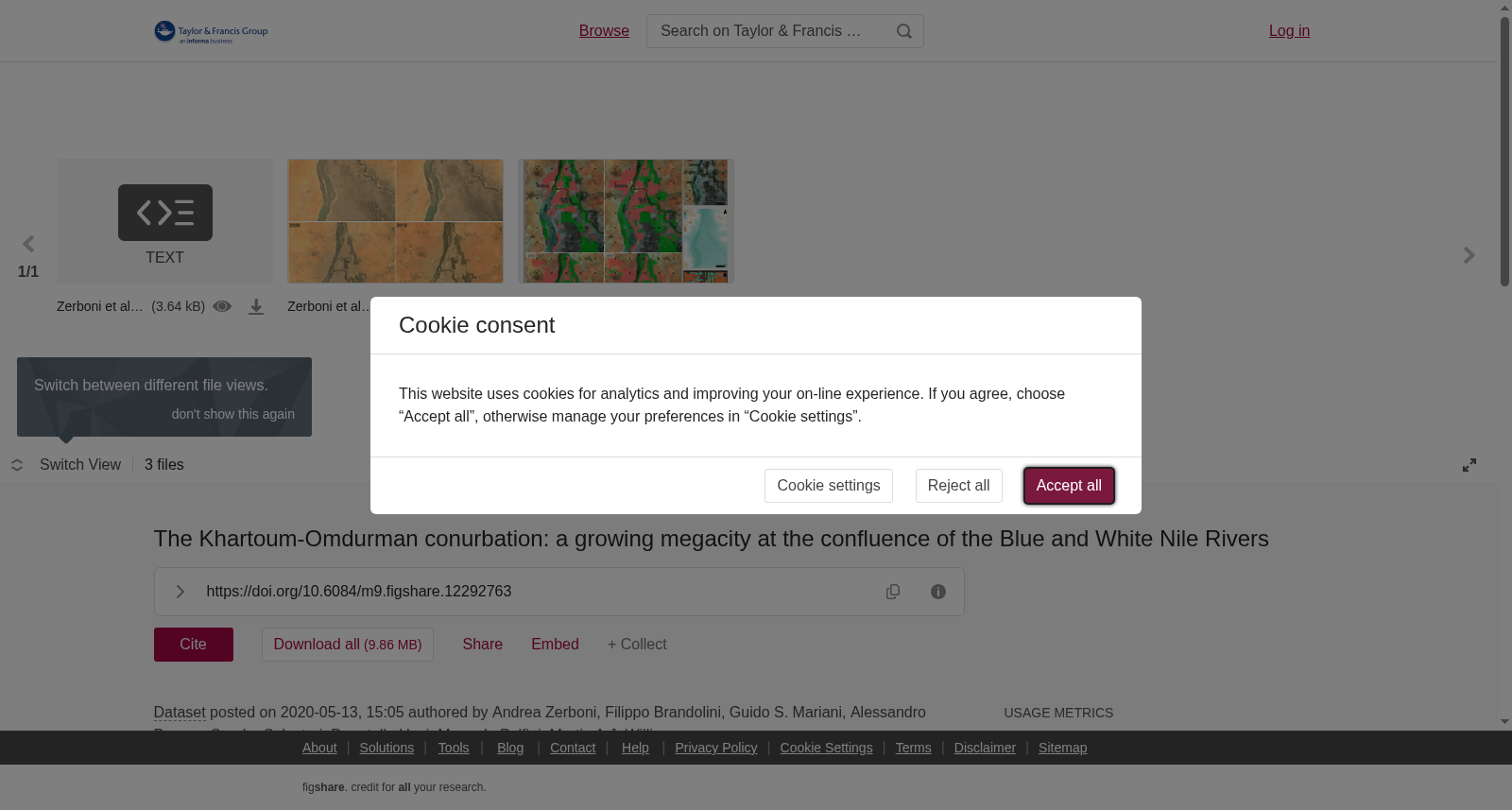
Khartoum is one of the largest cities in Africa, located immediately south of the junction of the Blue and White Nile rivers in central Sudan. The growth of the Greater Khartoum-Omdurman conurbation arose – without a proper urban plan – from the agricultural wealth created through the completion of three dams, and mostly in the last three decades. Urban expansion was enabled by and helped to enhance the major agricultural expansion of the Gezira clay plains located to the south between the lower Blue and White Nile rivers. The region has been a focus of human settlement for at least 8,000 years, initially by semi-sedentary groups with a fishing-hunting-gathering lifestyle and later by Neolithic groups as shown by hundreds of archaeological sites. Today, Khartoum is a desert city, still very vulnerable to floods triggered by intense convectional storms. Such extreme events may become more common in future, representing a major geomorphological hazard. Moreover, uncontrolled urban and agricultural development is threatening most of the cultural heritage of the region.
喀土穆是非洲规模最大的城市之一,坐落于苏丹中部青尼罗河与白尼罗河的交汇处以南紧邻地带。近三十余年来,三座大坝竣工所催生的农业红利,使得大喀土穆-恩图曼都会区在缺乏合理城市规划的背景下快速扩张。城市扩张既依托位于青、白尼罗河下游以南的杰济拉黏土地平原(Gezira clay plains)的农业规模化发展得以实现,又反过来推动了该区域的农业扩张进程。该区域至少8000年来一直是人类聚居的核心区域:早期为以渔猎采集为生计方式的半定居人群,后续则有新石器时代人群在此活动,这一论断已通过数百处考古遗址得到验证。如今,作为一座沙漠城市,喀土穆仍极易受强对流风暴引发的洪涝灾害影响。此类极端事件未来或将愈发频发,构成严重的地貌灾害风险。此外,不受管控的城市与农业开发正持续威胁着该区域绝大多数的文化遗产。
提供机构:
Taylor & Francis
创建时间:
2020-05-13
搜集汇总
数据集介绍
以上内容由遇见数据集搜集并总结生成


