仰光深水港地区经济发展程度空间分布数据集(2019)
收藏资源简介:
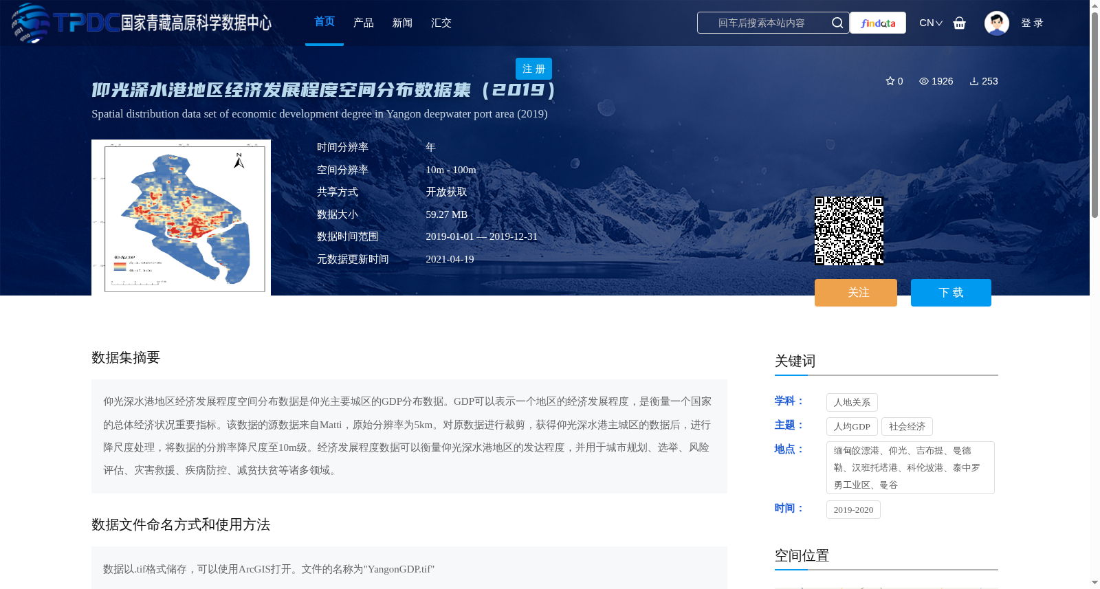
仰光深水港地区经济发展程度空间分布数据是仰光主要城区的GDP分布数据。GDP可以表示一个地区的经济发展程度,是衡量一个国家的总体经济状况重要指标。该数据的源数据来自Matti,原始分辨率为5km。对原数据进行裁剪,获得仰光深水港主城区的数据后,进行降尺度处理,将数据的分辨率降尺度至10m级。经济发展程度数据可以衡量仰光深水港地区的发达程度,并用于城市规划、选举、风险评估、灾害救援、疾病防控、减贫扶贫等诸多领域。
The spatially distributed dataset of economic development level in the Yangon Deep-water Port area corresponds to the GDP distribution data of Yangon's main urban districts. GDP, which reflects the economic development level of a region, is a critical indicator for evaluating the overall economic performance of a country. The source data of this dataset is derived from Matti, with an original resolution of 5 km. Subsequently, the original data was cropped to extract the dataset covering the main urban area of the Yangon Deep-water Port, followed by downscaling processing to adjust the resolution to the 10-meter level. This economic development level dataset can be used to quantify the development status of the Yangon Deep-water Port area, and finds applications in multiple domains including urban planning, elections, risk assessment, disaster relief, disease prevention and control, and poverty alleviation.