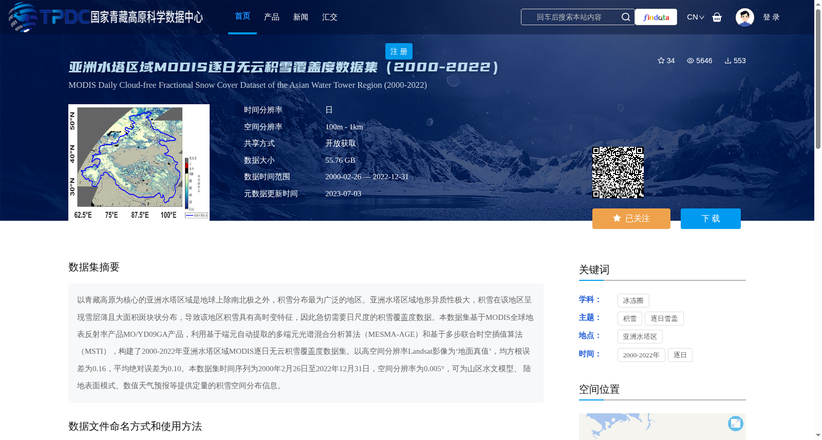
亚洲水塔区域MODIS逐日无云积雪覆盖度数据集(2000-2022)
收藏资源简介:
以青藏高原为核心的亚洲水塔区域是地球上除南北极之外,积雪分布最为广泛的地区。亚洲水塔区域地形异质性极大,积雪在该地区呈现雪层薄且大面积斑块状分布,导致该地区积雪具有高时变特征,因此急切需要日尺度的积雪覆盖度数据。本数据集基于MODIS全球地表反射率产品MO/YD09GA产品,利用基于端元自动提取的多端元光谱混合分析算法(MESMA-AGE)和基于多步联合时空插值算法(MSTI),构建了2000-2022年亚洲水塔区域MODIS逐日无云积雪覆盖度数据集。以高空间分辨率Landsat影像为‘地面真值’,均方根误差为0.16,平均绝对误差为0.10。本数据集时间序列为2000年2月26日至2022年12月31日,空间分辨率为0.005°,可为山区水文模型、 陆地表面模式、数值天气预报等提供定量的积雪空间分布信息。
The Asian Water Tower (AWT) region, centered on the Qinghai-Tibet Plateau, is the most extensively snow-covered area on Earth except for the Arctic and Antarctic regions. The AWT region exhibits extreme topographic heterogeneity, where snow cover features thin snow layers and large-scale patchy distribution, leading to high temporal variability of snow in this area. Therefore, daily-scale snow cover fraction data are urgently needed here. This dataset was developed using the MODIS global surface reflectance product MO/YD09GA, combined with the Multiple Endmember Spectral Mixture Analysis with Automatic Endmember Extraction (MESMA-AGE) algorithm and the Multi-step Spatiotemporal Joint Interpolation (MSTI) algorithm, to create a daily cloud-free MODIS snow cover fraction dataset for the AWT region spanning from 2000 to 2022. Using high-spatial-resolution Landsat imagery as the ground truth, this dataset achieves a Root Mean Square Error (RMSE) of 0.16 and a Mean Absolute Error (MAE) of 0.10. The temporal coverage of this dataset ranges from February 26, 2000 to December 31, 2022, with a spatial resolution of 0.005°. It can provide quantitative spatial information on snow cover distribution for applications including mountain hydrological models, land surface models, and numerical weather prediction.