长江中游城市群(武汉城市圈)1:100万水系空间分布数据(2014年)
收藏国家地球系统科学数据中心2018-06-29 更新2024-04-21 收录
下载链接:
https://www.geodata.cn/data/datadetails.html?dataguid=239021137896412&docId=19469
下载链接
链接失效反馈官方服务:
资源简介:
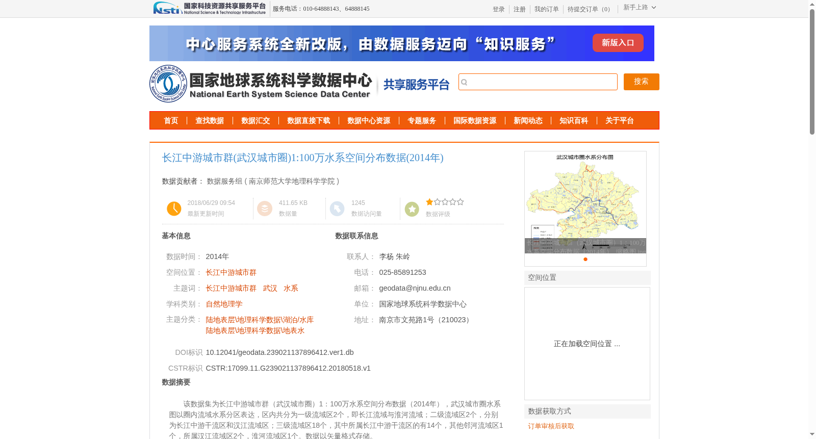
该数据集为长江中游城市群(武汉城市圈)1:100万水系空间分布数据(2014年),武汉城市圈水系图以圈内流域水系分区表达,区内共分为一级流域区2个,即长江流域与淮河流域;二级流域区2个,分别为长江中游干流区和汉江流域区;三级流域区18个,其中所属长江中游干流区的有14个,其他邻河流域区1个,所属汉江流域区2个,淮河流域区1个。数据以矢量格式存储。
This dataset is the 1:1,000,000-scale spatial distribution data of water systems in the Urban Agglomeration in the Middle Reaches of the Yangtze River (Wuhan Metropolitan Area), dated 2014. The water system map of the Wuhan Metropolitan Area is expressed by dividing the area into basin and water system zones. There are 2 first-level basin zones in total, namely the Yangtze River Basin and the Huaihe River Basin; 2 second-level basin zones, which are the Middle Reaches of the Yangtze River Main Stream Zone and the Hanjiang River Basin Zone; and 18 third-level basin zones, including 14 belonging to the Middle Reaches of the Yangtze River Main Stream Zone, 1 belonging to other adjacent river basin zones, 2 belonging to the Hanjiang River Basin Zone, and 1 belonging to the Huaihe River Basin Zone. The data is stored in vector format.
提供机构:
南京师范大学地理科学学院
创建时间:
2018-05-18
搜集汇总
数据集介绍
背景与挑战
背景概述
该数据集提供了2014年长江中游城市群(武汉城市圈)的水系空间分布信息,包括2个一级流域区、2个二级流域区和18个三级流域区的详细划分,数据以1:100万比例尺的矢量格式存储,适用于自然地理学和地表水研究。
以上内容由遇见数据集搜集并总结生成


