30米分辨率全球陆表水体产品(2000年,2010年,2015年)
收藏地球大数据科学工程2024-03-04 收录
下载链接:
https://data.casearth.cn/sdo/detail/6051a994819aec45c7521b98
下载链接
链接失效反馈官方服务:
资源简介:
水资源是人类赖以生存和社会发展不可替代的战略资源,是全球资源安全和管理、气候变化研究、生态环境动态监测等不可或缺的重要基础信息。如何建立行之有效的方法,科学、准确、快速地提取全球陆表水体信息,适时掌握陆表水体的变化信息己成为水循环等全球变化研究的关键问题。目前的陆表水体提取算法都存在不同程度的人工干预,自动化程度低,难以满足全球海量遥感数据快速处理的需求,因此研发了面向大尺度陆表水体快速提取的高效自动化算法,并利用该算法生产了30米分辨率全球最大陆表水体年产品。
Water resources are irreplaceable strategic resources for human survival and social development, and serve as indispensable foundational information for global resource security and management, climate change research, dynamic ecological environment monitoring and other related research fields. Establishing effective methods to scientifically, accurately and rapidly extract global land surface water information and timely grasp their spatio-temporal changes has emerged as a key challenge in global change research such as water cycle studies. However, existing land surface water extraction algorithms suffer from varying degrees of manual intervention and low automation, which makes it difficult to meet the demands for rapid processing of global massive remote sensing datasets. To address this issue, we developed efficient automated algorithms for rapid extraction of large-scale land surface water bodies, and utilized these algorithms to produce the world's largest annual global land surface water dataset with 30-meter resolution.
提供机构:
中国科学院空天信息创新研究院
搜集汇总
数据集介绍
背景与挑战
背景概述
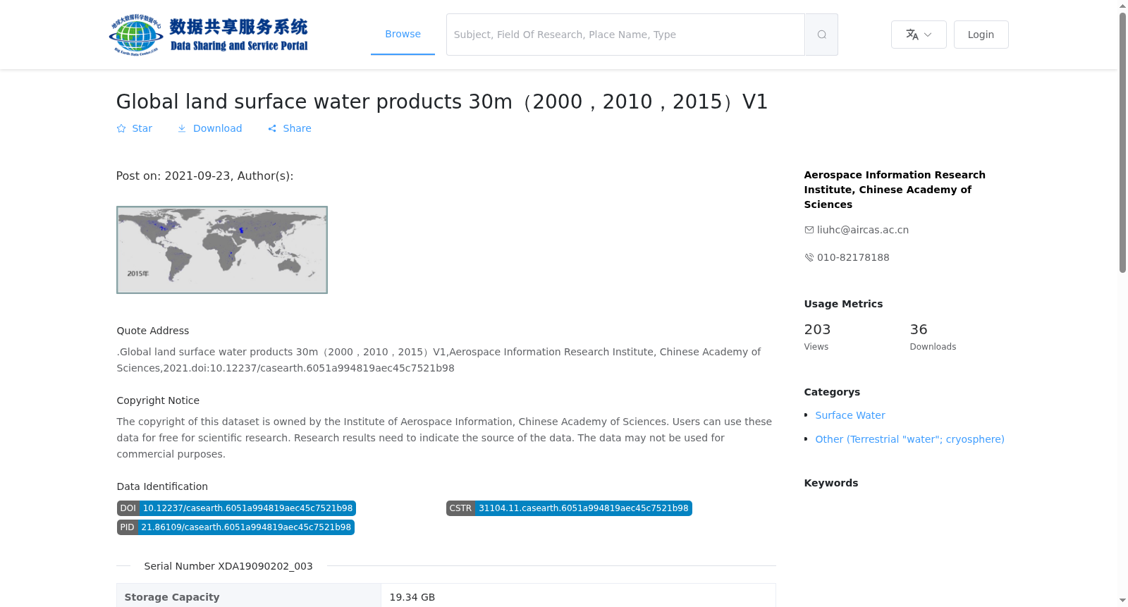
该数据集是由中国科学院空天信息创新研究院提供的全球陆表水体产品,包含2000年、2010年和2015年三个时间点的30米分辨率数据,覆盖60S-60N和180W-180E的地理范围,数据格式为.TIF和.XML,适用于科学研究但禁止商业用途。
以上内容由遇见数据集搜集并总结生成


