全球山地冰川物质平衡数据产品(2001-2020)
收藏国家地球系统科学数据中心2023-05-09 更新2024-04-21 收录
下载链接:
https://www.geodata.cn/data/datadetails.html?dataguid=84354315830776&docId=5419
下载链接
链接失效反馈官方服务:
资源简介:
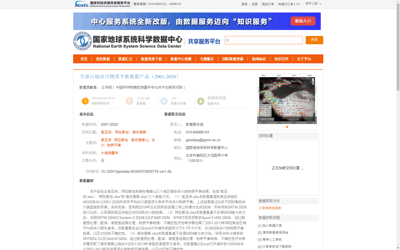
本产品包含高亚洲、阿拉斯加和南安第斯山三个地区单条冰川的物质平衡结果,包括“高亚洲.xlsx”、“阿拉斯加.xlsx”和“南安第斯.xlsx”三个表格文件。(1)高亚洲.xlsx本数据集提供高亚洲地区49320条冰川2001-2020年的年平均冰川高程变化和年平均冰川物质平衡。上述结果通过比较不同时期的冰川表面地形获得。具体而言,是利用2018年左右获取的资源三号立体像对生成DEM,并将其和SRTM DEM进行比较,从而得到高亚洲地区49320条冰川的结果。(2)阿拉斯加.xlsx本数据集基于多源DEM差分的方法,采用SRTM DEM与Tandem-X DEM以及IFSAR DEM、SPIRIT项目获取的Sport 5 HRS DEM, 经过数据预处理、配准、高程差结果处理、物质平衡转换、不确定性评估等步骤估算了2001-2013年阿拉斯加区域70%的冰川损失速率。该数据集包含以Excel文件储存的面积大于0.1平方千米,共2602条冰川的物质平衡结果,以及对应的不确定性。(3)南安第斯.xlsx本数据集基于多源DEM差分的方法,采用30米分辨率的SRTMGL1以及Glob30 DEM,经过数据预处理、配准、高程差结果处理、物质平衡转换、不确定性评估等步骤获取了南安第斯山地冰川2001-2013年表面的高程变化速率。该数据集以Excel文件储存的15004条冰川2001-2013年的冰厚变化和物质平衡结果,以及对应的不确定性。
This dataset product contains the mass balance results of individual glaciers in three regions: High Asia, Alaska, and the Southern Andes, and is distributed in three spreadsheet files named "High Asia.xlsx", "Alaska.xlsx", and "Southern Andes.xlsx".
(1) High Asia.xlsx: This dataset provides the annual average glacier elevation change and annual average glacier mass balance for 49,320 glaciers in the High Asia region from 2001 to 2020. These results are derived by comparing glacier surface topographies from different periods. Specifically, digital elevation models (DEMs) were generated using ZY-3 stereo pairs acquired around 2018, and compared with SRTM DEMs to obtain the results for the 49,320 glaciers in High Asia.
(2) Alaska.xlsx: Based on the multi-source DEM differencing method, this dataset adopted SRTM DEM, Tandem-X DEM, IFSAR DEM, and the Sport 5 HRS DEM acquired by the SPIRIT project, and estimated the glacier mass loss rate for 70% of the glaciers in Alaska from 2001 to 2013 through steps including data preprocessing, registration, elevation difference result processing, mass balance conversion, and uncertainty assessment. This dataset stores the mass balance results and corresponding uncertainties for 2,602 glaciers with an area greater than 0.1 km² in an Excel file.
(3) Southern Andes.xlsx: Based on the multi-source DEM differencing method, this dataset adopted 30-meter resolution SRTMGL1 and Glob30 DEMs, and obtained the surface elevation change rates of the Southern Andes mountain glaciers from 2001 to 2013 through steps including data preprocessing, registration, elevation difference result processing, mass balance conversion, and uncertainty assessment. This dataset stores the ice thickness change and mass balance results for 15,004 glaciers from 2001 to 2013, along with their corresponding uncertainties, in an Excel file.
提供机构:
中国科学院精密测量科学与技术创新研究院
创建时间:
2023-05-09
搜集汇总
数据集介绍
背景与挑战
背景概述
该数据集提供了2001年至2020年全球三个关键山地冰川区域(高亚洲、阿拉斯加和南安第斯山)的单条冰川物质平衡数据,包括年平均冰川高程变化和物质平衡结果,以及相关不确定性评估。数据基于多源DEM差分方法生成,覆盖了高亚洲49320条冰川、阿拉斯加2602条冰川和南安第斯山15004条冰川,主要用于大地测量学和气候变化研究。数据集以Excel文件格式存储,总数据量约为13.63 MB,来源于国家地球系统科学数据中心,支持科学研究使用。
以上内容由遇见数据集搜集并总结生成


