Indian Regions Soil Image Database (IRSID): A dataset for classification of Indian soil types
收藏DataCite Commons2023-11-02 更新2025-04-16 收录
下载链接:
https://ieee-dataport.org/documents/indian-regions-soil-image-database-irsid-dataset-classification-indian-soil-types
下载链接
链接失效反馈官方服务:
资源简介:
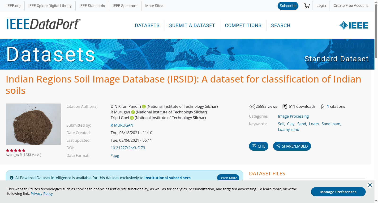
Indian Regions Soil Image Database (IRSID) : A dataset for classification of Indian soil typesThe database “Indian Regions Soil Image Database (IRSID)”, represent the Indian soil types. The dataset provides information on the soil for each image. This helps in the development and evaluation of an image analysis algorithm for the classification of soil type. The dataset consists of original color images of the sand, clay, sandy loam, loam, and loam sandy soil types. The images of the soil samples are collected from two different regions in Andhra Pradesh state, India. As the samples collected region is situated near the Godavari basin, most of the soil samples collected are either sand or clay. The samples that are collected in Madanapalle, Andhra Pradesh, India are sandy loam and loam soils. The total number of soil samples collected is 16 numbers. The soil images are captured by using an android mobile camera with 48 megapixels ISOCELL GM2 sensor with an f/2.0 aperture lens. The ISOCELL imager providesa broader, clearer viewing experience to mobile device users. Smart Wide Dynamic Range (WDR) technology of ISOCELL can capture the details more accurately in both bright and dark areas, even in high contrast lighting conditions. The collected test samples were tested in the soil mechanics lab by using sieve analysis and hydrometer test to find out the percentage of sand, silt, and clay in each soil sample. By plotting these percentage values on the USDA soil texture triangle, soil texture type can be identified. The test data of each sample is provided in .csv file.
印度区域土壤图像数据库(Indian Regions Soil Image Database, IRSID):一款面向印度土壤类型分类的数据集
本数据库即印度区域土壤图像数据库(IRSID),涵盖印度本土各类土壤样本。数据集为每张土壤图像配套对应土壤属性信息,可用于开发与评估土壤类型分类的图像分析算法。本数据集包含砂土、黏土、砂质壤土、壤土及壤质砂土共5类土壤的原始彩色图像。
土壤样本图像采集自印度安得拉邦的两个区域。其中一个采样区域毗邻戈达瓦里盆地,因此该区域采集的样本多为砂土或黏土;另一采样区域为印度安得拉邦马达纳帕利,采集的样本为砂质壤土与壤土。本次共采集土壤样本16份。
土壤图像均采用搭载4800万像素ISOCELL GM2传感器及f/2.0光圈镜头的安卓手机摄像头拍摄。ISOCELL成像传感器可为移动设备用户带来更宽广清晰的成像体验,其搭载的智能宽动态范围(Smart Wide Dynamic Range, WDR)技术,即便在高对比度光照环境下,也能精准捕捉明暗区域的细节信息。
所有采集样本均在土壤力学实验室通过筛分试验与比重计试验,测定每份样本中砂土、粉粒与黏土的占比。将上述占比数据标注于美国农业部(United States Department of Agriculture, USDA)土壤质地三角图中,即可确定对应土壤的质地类型。每份样本的检测数据均以CSV格式文件提供。
提供机构:
IEEE DataPort
创建时间:
2021-03-18
搜集汇总
数据集介绍
背景与挑战
背景概述
Indian Regions Soil Image Database (IRSID)是一个专门用于印度土壤类型分类的数据集,包含来自安得拉邦两个地区的16个土壤样本的高清图像和实验室测试数据。数据集支持图像分析算法的开发和评估,适用于土壤科学研究。
以上内容由遇见数据集搜集并总结生成


