
MPOLSAR-1.0: Multidimensional SAR Multiband Fully Polarized Fine Classification Dataset
收藏DataCite Commons2025-04-27 更新2025-04-16 收录
下载链接:
https://www.scidb.cn/detail?dataSetId=209a22c8f819479bb1caa0da045d1b4f
下载链接
链接失效反馈官方服务:
资源简介:
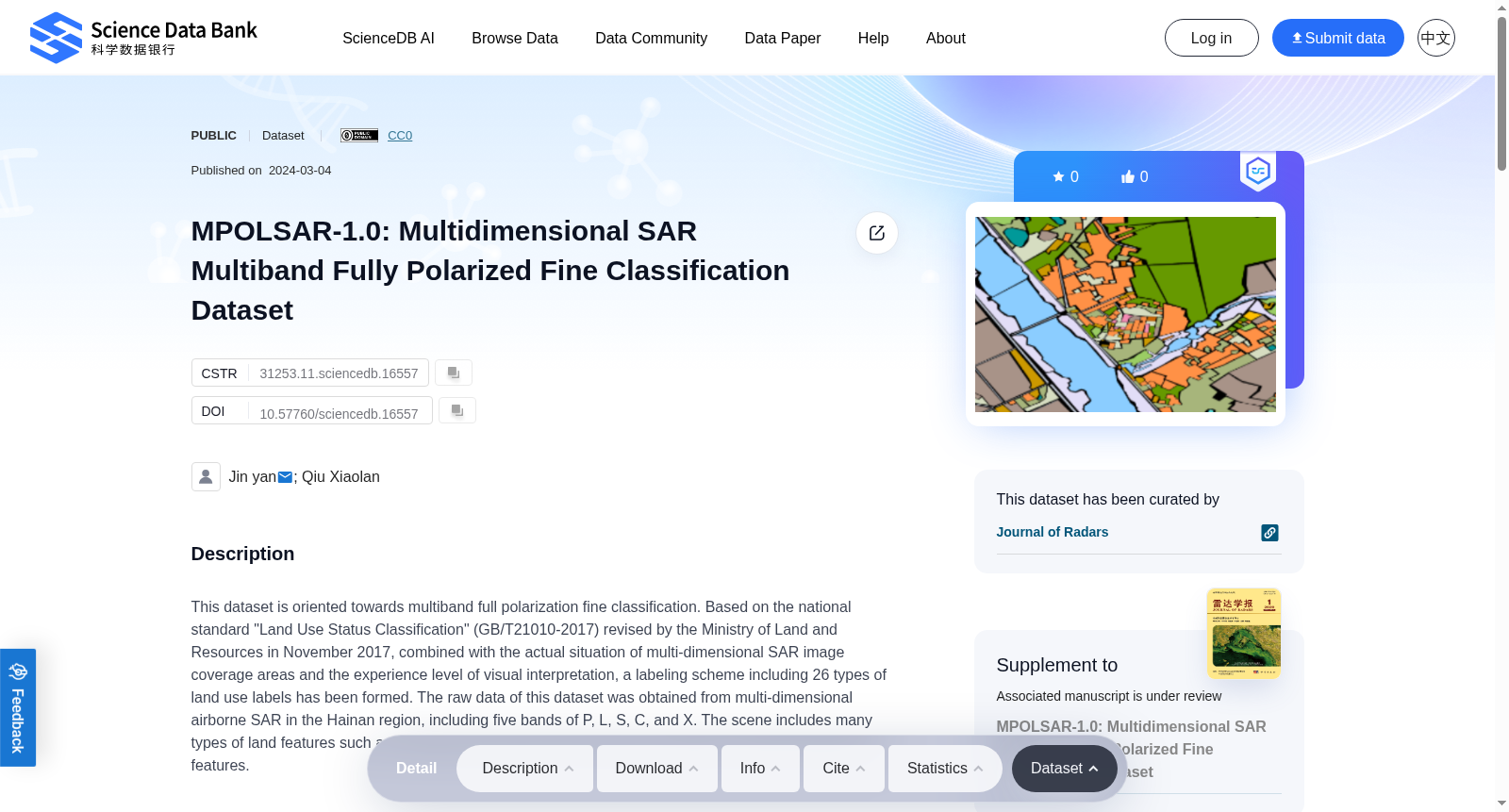
This dataset is oriented towards multiband full polarization fine classification. Based on the national standard "Land Use Status Classification" (GB/T21010-2017) revised by the Ministry of Land and Resources in November 2017, combined with the actual situation of multi-dimensional SAR image coverage areas and the experience level of visual interpretation, a labeling scheme including 26 types of land use labels has been formed. The raw data of this dataset was obtained from multi-dimensional airborne SAR in the Hainan region, including five bands of P, L, S, C, and X. The scene includes many types of land features such as rural areas, towns, hills, and coasts, and includes a wealth of typical land features.
本数据集面向多波段全极化精细分类任务。本数据集以2017年11月由国土资源部修订的国家标准《土地利用现状分类》(GB/T21010-2017)为基础,结合多维合成孔径雷达(Synthetic Aperture Radar,SAR)影像覆盖区域的实际情况与目视解译经验水平,制定了包含26类土地利用标签的标注方案。本数据集的原始数据采集自海南地区的多维机载SAR,涵盖P、L、S、C、X共5个波段。该场景包含乡村、城镇、丘陵、海岸等多种地物类型,蕴含丰富的典型地物样本。
提供机构:
Science Data Bank
创建时间:
2024-03-04
搜集汇总
数据集介绍
背景与挑战
背景概述
MPOLSAR-1.0是一个多维SAR多波段全极化精细分类数据集,包含26种土地利用类型的标注,数据来源于海南地区的多维机载SAR,涵盖五个波段,适用于SAR图像精细分类研究。
以上内容由遇见数据集搜集并总结生成



