
2012 - 2017 Rockfall Inventory and Failure Characteristics
收藏数据链接:
官方服务:
资源简介:
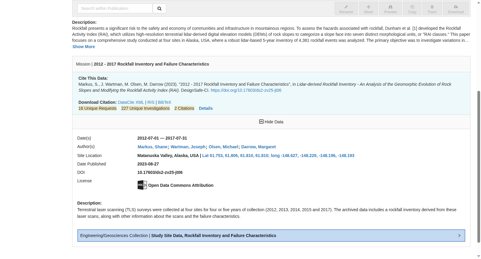
Terrestrial laser scanning (TLS) surveys were collected at four sites for four or five years of collection (2012, 2013, 2014, 2015 and 2017). The archived data includes a rockfall inventory derived from these laser scans, along with other information about the scans and the failure characteristics.
本数据集的地面激光扫描(Terrestrial Laser Scanning, TLS)测量工作在4处观测站点开展,采集周期为4至5年,覆盖2012、2013、2014、2015及2017年。归档数据包含由上述激光扫描结果衍生的落石编目,以及与扫描工作及崩塌特征相关的其他配套信息。
提供机构:
Designsafe-CI创建时间:
2023-08-27
搜集汇总
数据集介绍
背景与挑战
背景概述
该数据集提供了2012年至2017年间阿拉斯加四个地点的岩崩详细清单和失效特征数据,包括4,381个岩崩事件的RAI分类、年度失效率和平均失效深度等信息,旨在改进岩崩灾害评估方法。
以上内容由遇见数据集搜集并总结生成


