羌塘高原逐月水位数据(2000-2021)
收藏国家青藏高原科学数据中心2025-08-21 更新2025-09-13 收录
下载链接:
https://data.tpdc.ac.cn/zh-hans/data/2ac12339-ec7a-4202-b795-f847e420c2e8
下载链接
链接失效反馈官方服务:
资源简介:
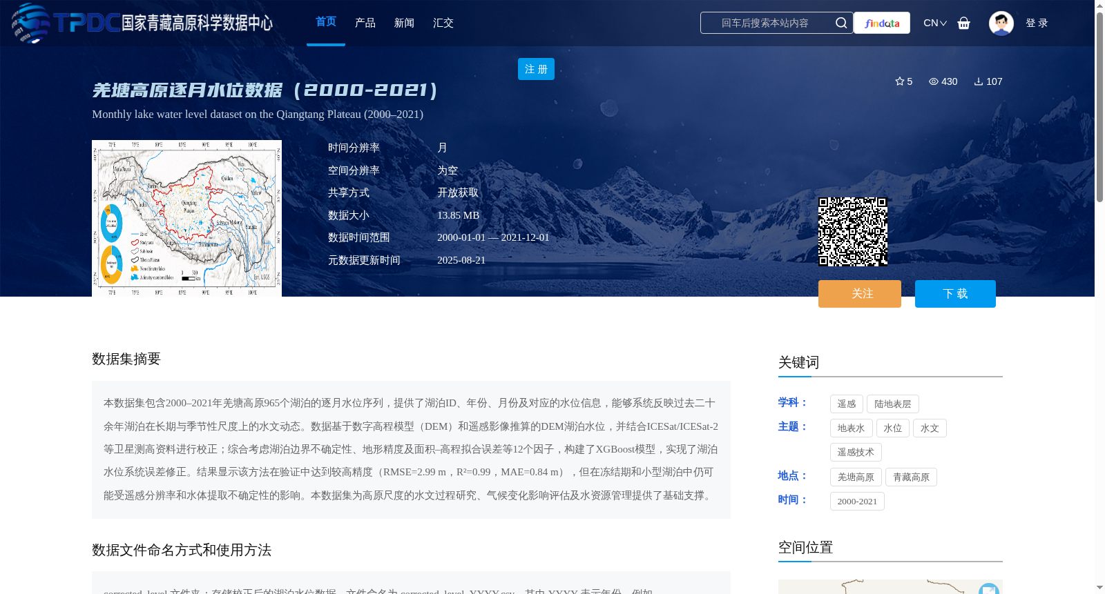
本数据集包含2000–2021年羌塘高原965个湖泊的逐月水位序列,提供了湖泊ID、年份、月份及对应的水位信息,能够系统反映过去二十余年湖泊在长期与季节性尺度上的水文动态。数据基于数字高程模型(DEM)和遥感影像推算的DEM湖泊水位,并结合ICESat/ICESat-2等卫星测高资料进行校正;综合考虑湖泊边界不确定性、地形精度及面积–高程拟合误差等12个因子,构建了XGBoost模型,实现了湖泊水位系统误差修正。结果显示该方法在验证中达到较高精度(RMSE=2.99 m,R²=0.99,MAE=0.84 m),但在冻结期和小型湖泊中仍可能受遥感分辨率和水体提取不确定性的影响。本数据集为高原尺度的水文过程研究、气候变化影响评估及水资源管理提供了基础支撑。
This dataset contains monthly water level time series of 965 lakes on the Qiangtang Plateau from 2000 to 2021. It provides lake IDs, corresponding years, months and their associated water level data, which can systematically reflect the hydrological dynamics of lakes at both long-term and seasonal scales over the past two decades. The data is derived from lake water levels estimated using Digital Elevation Model (DEM) and remote sensing imagery, and corrected with satellite altimetry datasets such as ICESat/ICESat-2. By taking into account 12 factors including lake boundary uncertainty, topographic accuracy, area-elevation fitting error and other relevant factors, an XGBoost model was constructed to correct systematic errors in lake water levels. Validation results demonstrate that this method achieves high accuracy (RMSE=2.99 m, R²=0.99, MAE=0.84 m), yet it may still be impacted by remote sensing resolution and water body extraction uncertainty in frozen periods and small lakes. This dataset provides fundamental support for plateau-scale hydrological process research, climate change impact assessment and water resource management.
提供机构:
黄昌,李云梅
创建时间:
2025-08-20
搜集汇总
数据集介绍
背景与挑战
背景概述
该数据集提供了2000-2021年羌塘高原965个湖泊的逐月水位信息,基于DEM和遥感影像推算并经过XGBoost模型校正,精度较高(RMSE=2.99 m,R²=0.99,MAE=0.84 m),适用于高原水文过程研究和气候变化影响评估。
以上内容由遇见数据集搜集并总结生成


