2021年全球山地类型数据
收藏地球大数据科学工程2024-04-21 收录
下载链接:
https://data.casearth.cn/sdo/detail/65389ae6819aec0f2610d18a
下载链接
链接失效反馈官方服务:
资源简介:
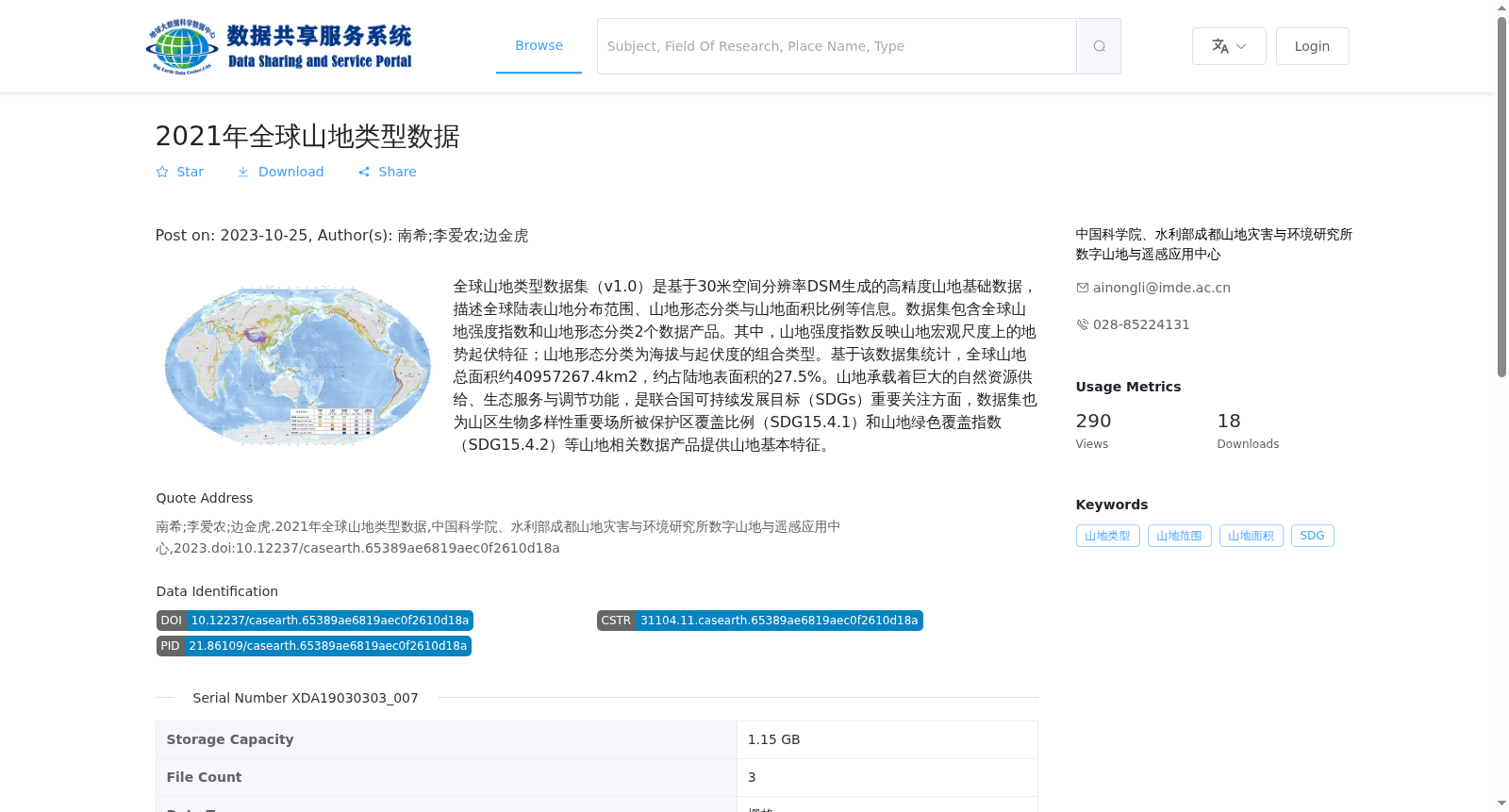
全球山地类型数据集(v1.0)是基于30米空间分辨率DSM生成的高精度山地基础数据,描述全球陆表山地分布范围、山地形态分类与山地面积比例等信息。数据集包含全球山地强度指数和山地形态分类2个数据产品。其中,山地强度指数反映山地宏观尺度上的地势起伏特征;山地形态分类为海拔与起伏度的组合类型。基于该数据集统计,全球山地总面积约40957267.4km2,约占陆地表面积的27.5%。山地承载着巨大的自然资源供给、生态服务与调节功能,是联合国可持续发展目标(SDGs)重要关注方面,数据集也为山区生物多样性重要场所被保护区覆盖比例(SDG15.4.1)和山地绿色覆盖指数(SDG15.4.2)等山地相关数据产品提供山地基本特征。
The Global Mountain Type Dataset (v1.0) is high-precision basic mountain data generated from 30-meter spatial resolution DSM, which describes information including the global land surface mountain distribution range, mountain morphology classification and mountain area proportion, etc. The dataset includes two data products: the Global Mountain Intensity Index and the Mountain Morphology Classification. Specifically, the Mountain Intensity Index reflects the topographic relief characteristics of mountains at the macro scale; the Mountain Morphology Classification is a combined category based on elevation and relief. Statistics based on this dataset indicate that the total global mountain area is approximately 40,957,267.4 km², accounting for about 27.5% of the global land surface area. Mountains provide abundant natural resource supplies, ecological services and regulatory functions, and are an important focus of the United Nations Sustainable Development Goals (SDGs). The dataset also provides basic mountain characteristics for mountain-related data products such as the proportion of important mountain biodiversity sites covered by protected areas (SDG 15.4.1) and the Mountain Green Cover Index (SDG 15.4.2).
提供机构:
中国科学院、水利部成都山地灾害与环境研究所数字山地与遥感应用中心
搜集汇总
数据集介绍
背景与挑战
背景概述
2021年全球山地类型数据是基于30米空间分辨率DSM生成的高精度山地基础数据,包含全球山地强度指数和山地形态分类2个数据产品,全球山地总面积约40957267.4km²,占陆地表面积的27.5%。该数据集为山地相关研究及联合国可持续发展目标(SDGs)提供了重要数据支持。
以上内容由遇见数据集搜集并总结生成


