青藏高原地区30m不透水面产品(2022)
收藏国家青藏高原科学数据中心2024-02-29 更新2024-05-01 收录
下载链接:
https://data.tpdc.ac.cn/zh-hans/data/435e65c9-7720-44b8-ad92-944e861be6b4
下载链接
链接失效反馈官方服务:
资源简介:
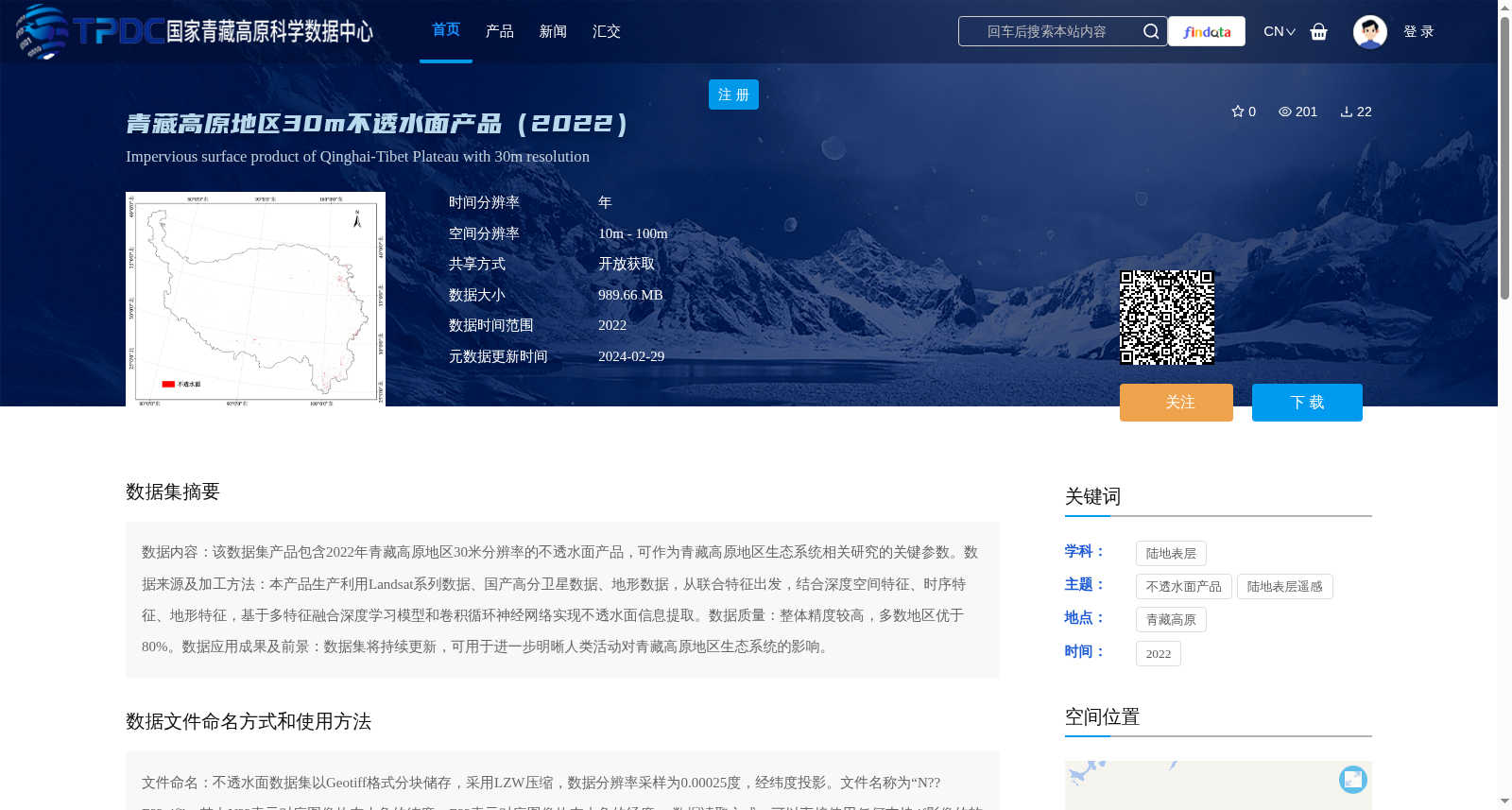
数据内容:该数据集产品包含2022年青藏高原地区30米分辨率的不透水面产品,可作为青藏高原地区生态系统相关研究的关键参数。数据来源及加工方法:本产品生产利用Landsat系列数据、国产高分卫星数据、地形数据,从联合特征出发,结合深度空间特征、时序特征、地形特征,基于多特征融合深度学习模型和卷积循环神经网络实现不透水面信息提取。数据质量:整体精度较高,多数地区优于80%。数据应用成果及前景:数据集将持续更新,可用于进一步明晰人类活动对青藏高原地区生态系统的影响。
Data Content: This dataset provides a 30-meter resolution impervious surface product for the Qinghai-Tibet Plateau region in 2022, which can serve as a key parameter for ecosystem-related research in the Qinghai-Tibet Plateau. Data Source and Processing Method: This product was developed using Landsat series data, domestic high-resolution satellite data, and topographic data. Starting from combined features and integrating deep spatial features, temporal features, and topographic features, impervious surface information extraction was implemented based on a multi-feature fusion deep learning model and a convolutional recurrent neural network (CRNN). Data Quality: The overall accuracy is relatively high, with most regions achieving an accuracy of over 80%. Data Application Achievements and Prospects: The dataset will be continuously updated, and can be used to further clarify the impacts of human activities on the ecosystem of the Qinghai-Tibet Plateau region.
提供机构:
王桂周
创建时间:
2024-01-16
搜集汇总
数据集介绍
背景与挑战
背景概述
该数据集提供2022年青藏高原地区30米分辨率的不透水面产品,基于多源卫星数据和深度学习模型生成,精度较高,适用于研究人类活动对高原生态系统的影响。数据以Geotiff格式分块存储,便于地理信息软件使用。
以上内容由遇见数据集搜集并总结生成


