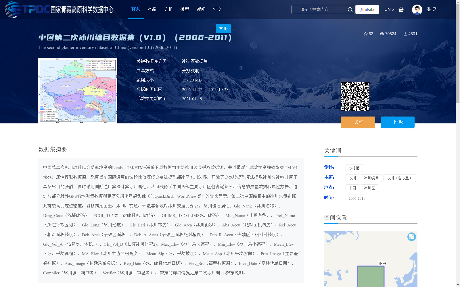
中国第二次冰川编目数据集(V1.0)(2006-2011)
收藏国家青藏高原科学数据中心2021-04-19 更新2024-03-07 收录
下载链接:
https://data.tpdc.ac.cn/zh-hans/data/f92a4346-a33f-497d-9470-2b357ccb4246
下载链接
链接失效反馈官方服务:
资源简介:
中国第二次冰川编目以分辨率较高的Landsat TM/ETM+遥感卫星数据为主要冰川边界提取数据源,并以最新全球数字高程模型SRTM V4为冰川属性提取数据源,采用当前国际通用的波段比值阈值分割法提取裸冰区冰川边界,开发了分冰岭提取算法提取冰川分冰岭并用于单条冰川的分割,同时采用国际通用算法计算冰川属性,从而获得了中国西部主要冰川区包含逐条冰川信息的矢量数据和属性数据。通过与部分野外GPS实地测量数据和更高分辨率遥感影像(如QuickBird、WorldView等)的对比显示,第二次中国编目中的冰川矢量数据具有较高的定位精度,能够满足国土、水利、交通、环境等领域对冰川数据的要求。
冰川编目属性:Glc_Name(冰川名称)、Drng_Code(流域编码)、FCGI_ID(第一次编目冰川编码)、GLIMS_ID(GLIMS冰川编码)、Mtn_Name(山系名称)、Pref_Name(所在行政区划)、Glc_Long(冰川经度)、Glc_Lati(冰川纬度)、Glc_Area(冰川面积)、Abs_Accu(绝对面积精度)、Rel_Accu(相对面积精度)、Deb_Area(表碛区面积)、Deb_A_Accu(表碛区面积绝对精度)、Deb_R_Accu(表碛区面积相对精度)、Glc_Vol_A(估算冰川体积1)、Glc_Vol_B(估算冰川体积2)、Max_Elev(冰川最大高程)、Min_Elev(冰川最小高程)、Mean_Elev(冰川平均高程)、MA_Elev(冰川中值面积高度)、Mean_Slp(冰川平均坡度)、Mean_Asp(冰川平均坡向)、Prm_Image(主要遥感数据)、Aux_Image(辅助遥感数据)、Rep_Date(冰川编目代表日期)、Elev_Src(高程数据源)、Elev_Date(高程代表日期)、Compiler(冰川编目编制者)、Verifier(冰川编目审验者)。
数据的详细情况见第二次冰川编目-数据说明。
The Second Chinese Glacier Inventory (SCGI) uses high-resolution Landsat TM/ETM+ remote sensing satellite data as the primary data source for extracting glacier boundaries, and the latest global digital elevation model SRTM V4 as the data source for extracting glacier attributes. It adopts the internationally prevailing band ratio thresholding method to extract glacier boundaries in bare ice areas, developed a glacier divide extraction algorithm to identify glacier divides and apply them to the segmentation of individual glaciers, and employed internationally standard algorithms to calculate glacier attributes. Consequently, vector and attribute data containing information of each individual glacier in major glaciated regions of western China were obtained.
Comparison with some field GPS survey data and higher-resolution remote sensing imagery (e.g., QuickBird, WorldView, etc.) demonstrates that the glacier vector data in the Second Chinese Glacier Inventory has high positional accuracy, meeting the requirements of glacier data in fields such as land resources management, water conservancy, transportation, and environmental protection.
Glacier inventory attributes include: Glacier Name (Glc_Name), Drainage Basin Code (Drng_Code), First Chinese Glacier Inventory ID (FCGI_ID), GLIMS Glacier ID (GLIMS_ID), Mountain Range Name (Mtn_Name), Administrative Division (Pref_Name), Glacier Longitude (Glc_Long), Glacier Latitude (Glc_Lati), Glacier Area (Glc_Area), Absolute Area Accuracy (Abs_Accu), Relative Area Accuracy (Rel_Accu), Supraglacial Debris Area (Deb_Area), Absolute Accuracy of Supraglacial Debris Area (Deb_A_Accu), Relative Accuracy of Supraglacial Debris Area (Deb_R_Accu), Estimated Glacier Volume 1 (Glc_Vol_A), Estimated Glacier Volume 2 (Glc_Vol_B), Maximum Elevation (Max_Elev), Minimum Elevation (Min_Elev), Mean Elevation (Mean_Elev), Median Area-Weighted Elevation (MA_Elev), Mean Slope (Mean_Slp), Mean Aspect (Mean_Asp), Primary Remote Sensing Data (Prm_Image), Auxiliary Remote Sensing Data (Aux_Image), Representative Inventory Date (Rep_Date), Elevation Data Source (Elev_Src), Elevation Data Date (Elev_Date), Compiler (Compiler), and Verifier (Verifier).
Detailed information about the data can be found in the Second Chinese Glacier Inventory - Data Description.
提供机构:
刘时银,郭万钦,许君利
创建时间:
2012-12-21
搜集汇总
数据集介绍
背景与挑战
背景概述
该数据集是中国第二次冰川编目的成果,覆盖2006年至2011年,以高分辨率Landsat遥感影像和SRTM高程数据为基础,采用国际通用算法提取了中国西部冰川的边界和属性信息。数据集包含详细的矢量数据和冰川属性,如面积、高程和坡度,适用于国土、水利和环境等领域的研究,具有较高的定位精度和开放共享特点。
以上内容由遇见数据集搜集并总结生成


