青藏高原地形地貌数据(2021)
收藏资源简介:
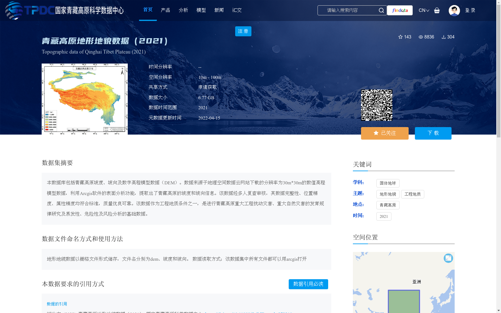
本数据库包括青藏高原坡度、坡向及数字高程模型数据(DEM)。数据来源于地理空间数据云网站下载的分辨率为30m*30m的数值高程模型数据,利用Arcgis软件的表面分析功能,提取出了青藏高原的坡度和坡向信息。该数据经多人复查审核,其数据完整性、位置精度、属性精度均符合标准,质量优良可靠。该数据作为工程地质条件之一,是进行青藏高原重大工程扰动灾害、重大自然灾害的发育规律研究及易发性、危险性及风险分析的基础数据。
This database contains slope, aspect, and digital elevation model (DEM) data of the Qinghai-Tibet Plateau. The original digital elevation model data was downloaded from the Geospatial Data Cloud website, with a spatial resolution of 30 m × 30 m. The slope and aspect information of the Qinghai-Tibet Plateau were extracted using the surface analysis tool of ArcGIS software. This dataset has been reviewed and verified by multiple personnel, and its data integrity, positional accuracy, and attribute accuracy all meet relevant standards, featuring excellent and reliable quality. As one of the engineering geological conditions, this dataset serves as fundamental data for studies on the development laws of major engineering-disturbed disasters and major natural disasters on the Qinghai-Tibet Plateau, as well as susceptibility, hazard, and risk analyses.