西藏自治区耕地基本信息(1959-2016)
收藏资源简介:
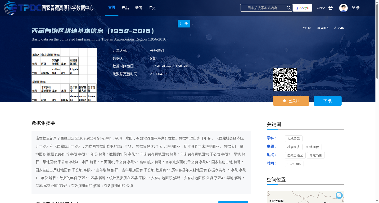
该数据集记录了西藏自治区1959-2016年实有耕地,旱地,水田,有效灌溉面积等序列数据。数据整理自统计年鉴: 《西藏社会经济统计年鉴》和《西藏统计年鉴》,精度同数据所摘取的统计年鉴。 数据集包含2个表:耕地面积,历年各县年末耕地面积。 数据表1:耕地面积 数据表共有7个字段 字段1:年份 解释:数据的年份 字段2:年末实有耕地面积 解释:年末实有耕地面积 千公顷 字段3:旱地 解释:旱地面积 千公顷 字段4:水田 解释:水田面积 千公顷 字段5:当年减少 解释:当年减少面积 千公顷 字段6:国家基建占地 解释:国家基建占用耕地面积 千公顷 字段7:当年增加 解释:当年增加面积 千公顷 数据表2:历年各县年末耕地面积 数据表共有5个字段 字段1:年份 解释:数据的年份 字段2:区县 解释:统计数据所在区县 字段3:实有耕地面积 解释:实有耕地面积 公顷 字段4:旱地 解释:旱地面积 公顷 字段5:有效灌溉面积 解释:有效灌溉面积 公顷
This dataset records the sequential data of total cultivated land, dry land, paddy field, effective irrigation area and other related indicators in the Tibet Autonomous Region from 1959 to 2016. The data is collated from two statistical yearbooks: *Tibet Social and Economic Statistical Yearbook* and *Tibet Statistical Yearbook*, and its accuracy is consistent with that of the source yearbooks. The dataset includes two tables: 1. Cultivated Land Area This table contains 7 fields in total: 1. Year: The year of the statistical data 2. Total Cultivated Land Area at Year-end: Total actual cultivated land area at the end of the year, unit: thousand hectares 3. Dry Land: Area of dry land, unit: thousand hectares 4. Paddy Field: Area of paddy field, unit: thousand hectares 5. Annual Decrease: Annual decreased cultivated land area, unit: thousand hectares 6. State Capital Construction Land Occupation: Cultivated land area occupied by national capital construction, unit: thousand hectares 7. Annual Increase: Annual increased cultivated land area, unit: thousand hectares 2. Annual End-of-Year Cultivated Land Area by County and District This table contains 5 fields in total: 1. Year: The year of the statistical data 2. County and District: The county/district where the statistical data is located 3. Actual Cultivated Land Area: Actual cultivated land area, unit: hectare 4. Dry Land: Area of dry land, unit: hectare 5. Effective Irrigation Area: Effective irrigation area, unit: hectare