塔吉克斯坦极端降水-滑坡灾害不同重现期人口伤亡风险
收藏国家青藏高原科学数据中心2025-07-14 更新2025-07-26 收录
下载链接:
https://data.tpdc.ac.cn/zh-hans/data/d8991b89-f050-46a4-aa01-754a51538389
下载链接
链接失效反馈官方服务:
资源简介:
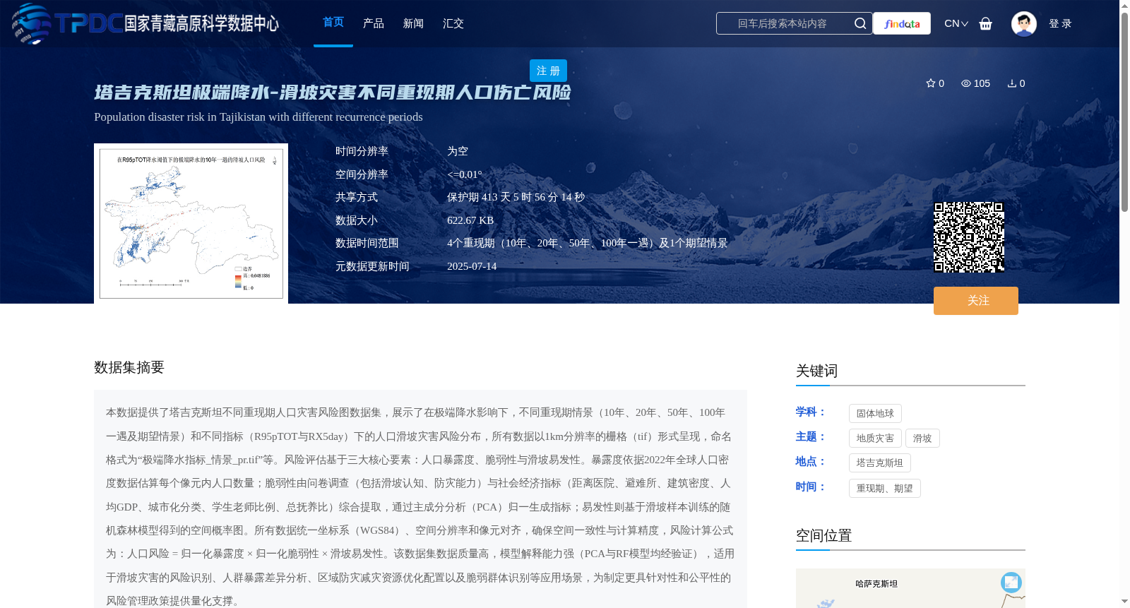
本数据提供了塔吉克斯坦不同重现期人口灾害风险图数据集,展示了在极端降水影响下,不同重现期情景(10年、20年、50年、100年一遇及期望情景)和不同指标(R95pTOT与RX5day)下的人口滑坡灾害风险分布,所有数据以1km分辨率的栅格(tif)形式呈现,命名格式为“极端降水指标_情景_pr.tif”等。风险评估基于三大核心要素:人口暴露度、脆弱性与滑坡易发性。暴露度依据2022年全球人口密度数据估算每个像元内人口数量;脆弱性由问卷调查(包括滑坡认知、防灾能力)与社会经济指标(距离医院、避难所、建筑密度、人均GDP、城市化分类、学生老师比例、总抚养比)综合提取,通过主成分分析(PCA)归一生成指标;易发性则基于滑坡样本训练的随机森林模型得到的空间概率图。所有数据统一坐标系(WGS84)、空间分辨率和像元对齐,确保空间一致性与计算精度,风险计算公式为:人口风险 = 归一化暴露度 × 归一化脆弱性 × 滑坡易发性。该数据集数据质量高,模型解释能力强(PCA与RF模型均经验证),适用于滑坡灾害的风险识别、人群暴露差异分析、区域防灾减灾资源优化配置以及脆弱群体识别等应用场景,为制定更具针对性和公平性的风险管理政策提供量化支撑。
This dataset provides population disaster risk map datasets for Tajikistan across different return periods, showcasing the spatial distribution of population landslide disaster risk under different return period scenarios (10-year, 20-year, 50-year, 100-year return periods, plus the expected scenario) and different indices (R95pTOT and RX5day) affected by extreme precipitation. All data are presented as 1 km spatial resolution raster files in TIFF format, with a naming convention such as "extreme_precipitation_index_scenario_pr.tif".
The risk assessment is based on three core components: population exposure, vulnerability, and landslide susceptibility. Exposure is calculated as the population count within each pixel, estimated using 2022 global population density data. Vulnerability is comprehensively extracted from questionnaire surveys (including landslide perception and disaster prevention capacity) and socioeconomic indicators (distance to hospitals and shelters, building density, per capita GDP, urbanization classification, student-teacher ratio, and total dependency ratio), with a composite index generated via Principal Component Analysis (PCA). Landslide susceptibility is derived as a spatial probability map from a Random Forest model trained on landslide samples.
All data share a unified coordinate system (WGS84), spatial resolution, and pixel alignment to ensure spatial consistency and computational accuracy. The risk calculation formula is: Population Risk = Normalized Exposure × Normalized Vulnerability × Landslide Susceptibility.
This dataset features high data quality and strong model interpretability (both PCA and Random Forest models have been validated). It is applicable to use cases including landslide disaster risk identification, population exposure disparity analysis, optimal allocation of regional disaster prevention and mitigation resources, and vulnerable group identification, providing quantitative support for formulating more targeted and equitable risk management policies.
提供机构:
程传美,伍永秋,郭浩,贾佳
创建时间:
2025-07-11
搜集汇总
数据集介绍
背景与挑战
背景概述
该数据集提供了塔吉克斯坦地区在极端降水影响下,不同重现期(10年、20年、50年、100年一遇及期望情景)的滑坡灾害人口伤亡风险图,以1km分辨率的栅格数据形式呈现。风险评估综合了人口暴露度、脆弱性(基于问卷调查和社会经济指标)和滑坡易发性(基于随机森林模型)三大要素,适用于灾害风险识别、防灾资源优化和政策制定等应用。
以上内容由遇见数据集搜集并总结生成


