湖南省1:10万土地利用数据集(2000)
收藏国家青藏高原科学数据中心2020-03-29 更新2024-03-06 收录
下载链接:
https://data.tpdc.ac.cn/zh-hans/data/7d68092a-1c51-41e7-8fac-fc70cefcc43e
下载链接
链接失效反馈官方服务:
资源简介:
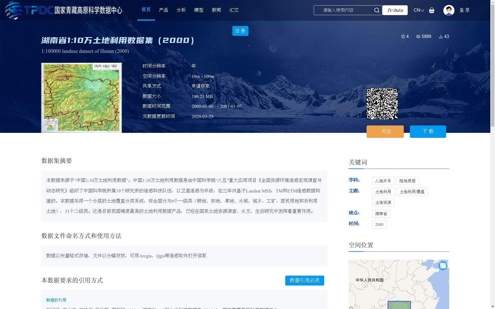
本数据来源于“中国1:10万土地利用数据”。中国1:10万土地利用数据是由中国科学院“八五”重大应用项目《全国资源环境遥感宏观调查与动态研究》组织了中国科学院所属19个研究所的遥感科技队伍,以卫星遥感为手段,在三年内基于Landsat MSS,TM和ETM遥感数据构建的。本数据采用一个分层的土地覆盖分类系统,将全国分为6个一级类(耕地、林地、草地、水域、城乡、工矿、居民用地和未利用土地),31个二级类。这是目前我国精度最高的土地利用数据产品,已经在国家土地资源调查、水文、生态研究中发挥着重要作用。
This dataset is derived from the China 1:100,000-scale Land Use Data. The China 1:100,000-scale Land Use Data was developed over a three-year period by remote sensing research teams from 19 research institutes affiliated with the Chinese Academy of Sciences (CAS), organized under the Eighth Five-Year Plan key application project "National Resource and Environment Remote Sensing Macroscopic Survey and Dynamic Research", using satellite remote sensing technologies based on Landsat MSS, TM, and ETM remote sensing data. This dataset adopts a hierarchical land cover classification system, dividing the entire country into 6 first-level categories (cultivated land, forest land, grassland, water area, urban and rural land, industrial and mining land, residential land, and unused land) and 31 second-level categories. It is currently the most accurate land use data product in China, and has played a vital role in national land resource surveys, hydrological and ecological research.
提供机构:
刘纪远,庄大方,王建华,吴世新,周万村
创建时间:
2014-09-12
搜集汇总
数据集介绍
背景与挑战
背景概述
该数据集是2000年湖南省1:10万比例尺的土地利用数据,来源于中国科学院基于Landsat遥感数据构建的全国土地利用项目,采用分层分类系统(6个一级类、31个二级类),具有高精度特点,适用于土地资源调查、水文和生态研究。数据以矢量格式存储,空间分辨率为10m-100m,需申请获取,并需按规定引用。
以上内容由遇见数据集搜集并总结生成


