土地利用动态监测服务
收藏资源简介:
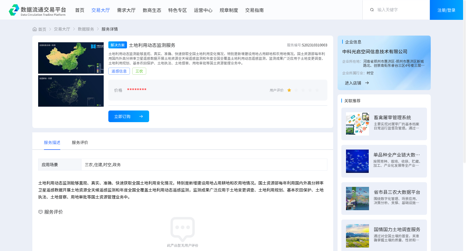
土地利用动态监测能够直观、真实、准确、快速获取全国土地利用变化情况,特别是新增建设用地占用耕地和农用地情况。国土资源部每年利用国内外高分辨率卫星遥感数据开展土地资源全天候遥感监测和年度全国全覆盖土地利用动态遥感监测,监测成果广泛应用于土地变更调查、土地利用规划、基本农田保护、土地执法、土地督察、用地审批等国土资源管理业务中。
Dynamic land use monitoring can intuitively, authentically, accurately and rapidly obtain nationwide land use change information, particularly regarding the occupation of cultivated land and agricultural land by newly added construction land. Every year, the Ministry of Land and Resources conducts all-weather remote sensing monitoring of land resources and annual nationwide full-coverage dynamic remote sensing monitoring of land use using high-resolution satellite remote sensing data from domestic and international sources. The monitoring results are widely applied in land and resources management operations such as land change survey, land use planning, basic farmland protection, land law enforcement, land supervision, and land use approval.