InSAR识别的青藏高原泛三江并流区活动性滑坡(2007-2019)
收藏资源简介:
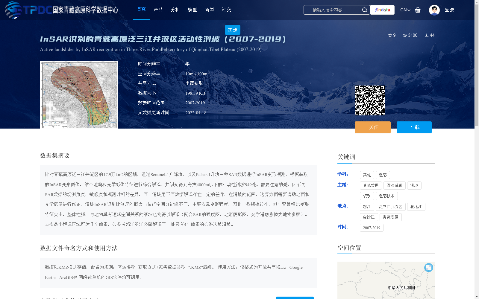
针对青藏高原泛三江并流区的17.9万km2的区域,通过Sentinel-1升降轨,以及Palsar-1升轨三种SAR数据进行InSAR变形观测,根据获取的InSAR变形图像,结合地貌和光学影像特征进行综合解译。共识别得到海拔4000m以下的活动性滑坡949处。需要注意的是,因不同SAR数据的观测角度、敏感度和观测时相的差异,同一滑坡用不同数据解译存在一定的差异,在滑坡的范围、边界方面需要借助地面和光学影像进行修正。滑坡InSAR识别比例尺的概念与传统空间分辨率不同,主要依靠变形强度,因此一些规模较小,但与背景相比变形特征突出,整体性强,与地物具有逻辑空间关系的滑坡也能得以解译(配合SAR的强度图、地形阴影图、光学遥感影像为地物参照)。本次最小解译区域可达几个像素,如参考怒江沿江公路解译了一处只有4个像素的公路边坡滑坡。
A 179,000 km² region of the Broader Three Parallel Rivers Area on the Qinghai-Tibet Plateau was selected for InSAR deformation observation using three SAR datasets: ascending and descending orbits of Sentinel-1, and ascending orbit of Palsar-1. Comprehensive interpretation was conducted based on the acquired InSAR deformation images, combined with geomorphic and optical image features. A total of 949 active landslides below 4000 m above sea level were identified. It should be noted that due to differences in observation angles, sensitivities and acquisition phases among different SAR datasets, certain discrepancies exist when interpreting the same landslide with different datasets. The scope and boundaries of landslides need to be corrected with the aid of ground surveys and optical remote sensing images. The concept of the identification scale for landslides via InSAR differs from traditional spatial resolution, which mainly depends on deformation intensity. As a result, some small-scale landslides with prominent deformation features relative to the background, strong integrity, and logical spatial relationships with surface features can also be interpreted (supplemented by SAR intensity maps, topographic shadow maps, and optical remote sensing images as surface feature references). The minimum interpretable area in this study can reach several pixels. For example, one highway slope landslide with only 4 pixels was interpreted by referring to the highway along the Nujiang River.