三江源国家公园界线矢量数据集
收藏国家青藏高原科学数据中心2021-04-22 更新2024-04-21 收录
下载链接:
https://data.tpdc.ac.cn/zh-hans/data/a2cc2fb2-ba29-4059-af5f-6d58acf654c8
下载链接
链接失效反馈官方服务:
资源简介:
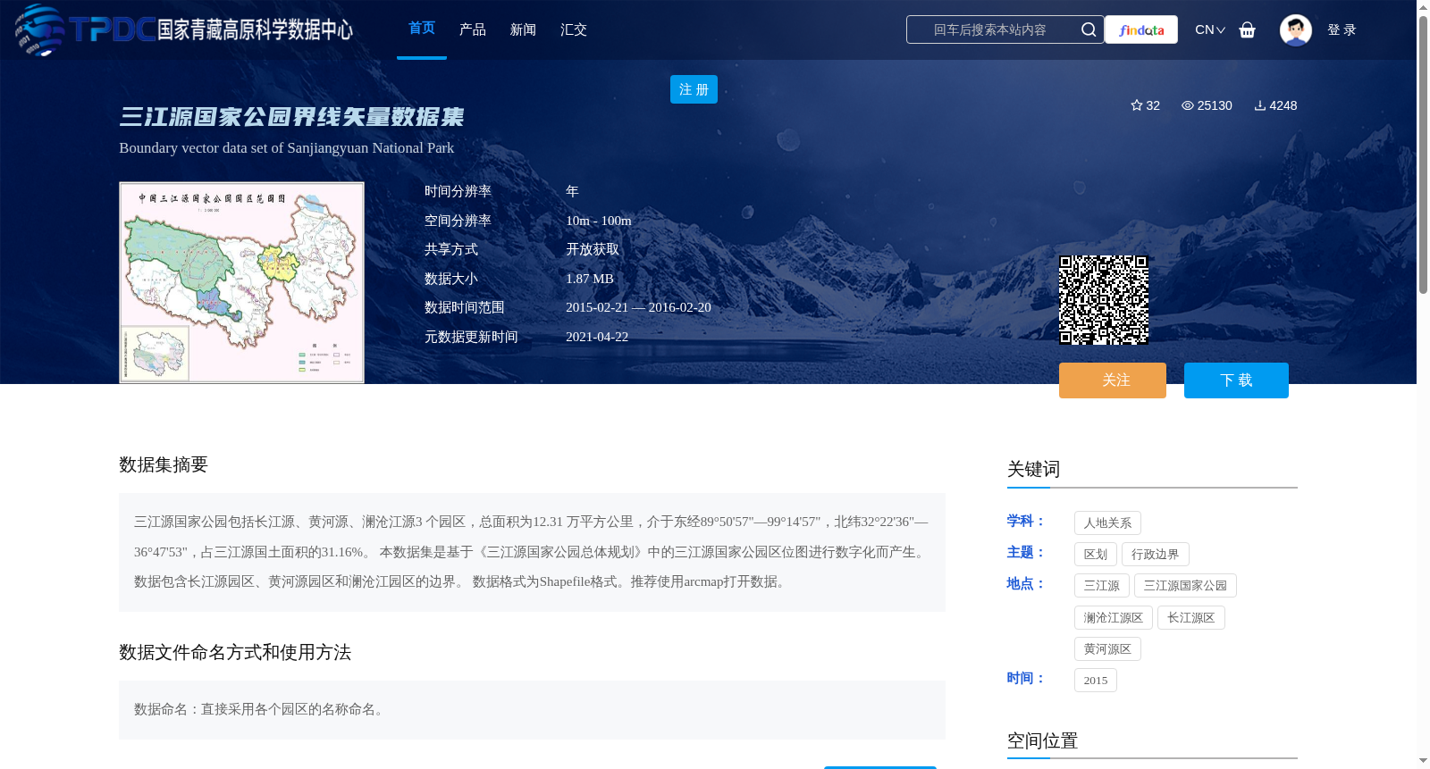
三江源国家公园包括长江源、黄河源、澜沧江源3 个园区,总面积为12.31 万平方公里,介于东经89°50'57"—99°14'57",北纬32°22'36"—36°47'53",占三江源国土面积的31.16%。
本数据集是基于《三江源国家公园总体规划》中的三江源国家公园区位图进行数字化而产生。数据包含长江源园区、黄河源园区和澜沧江园区的边界。
数据格式为Shapefile格式。推荐使用arcmap打开数据。
Sanjiangyuan National Park consists of three parks: the Source of Yangtze River, the Source of Yellow River and the Source of Lancang River, with a total area of 123,100 square kilometers. Its geographical scope ranges from 89°50'57" E to 99°14'57" E, and 32°22'36" N to 36°47'53" N, accounting for 31.16% of the total land area of the Sanjiangyuan region. This dataset was generated by digitizing the location map of Sanjiangyuan National Park included in the *Overall Plan for Sanjiangyuan National Park*, and contains the boundary data of the Yangtze River Source Park, Yellow River Source Park and Lancang River Source Park. The data is stored in Shapefile format, and it is recommended to use ArcMap to open and process this dataset.
提供机构:
王旭峰
创建时间:
2020-02-07
搜集汇总
数据集介绍
背景与挑战
背景概述
该数据集包含三江源国家公园(长江源、黄河源、澜沧江源三个园区)的边界矢量数据,总面积为12.31万平方公里,数据格式为Shapefile,适用于地理信息系统分析。数据基于《三江源国家公园总体规划》数字化产生,适用于生态监测和区域规划研究。
以上内容由遇见数据集搜集并总结生成


