
洪泽湖流域30mDEM数据集(2009年)
收藏官方服务:
资源简介:
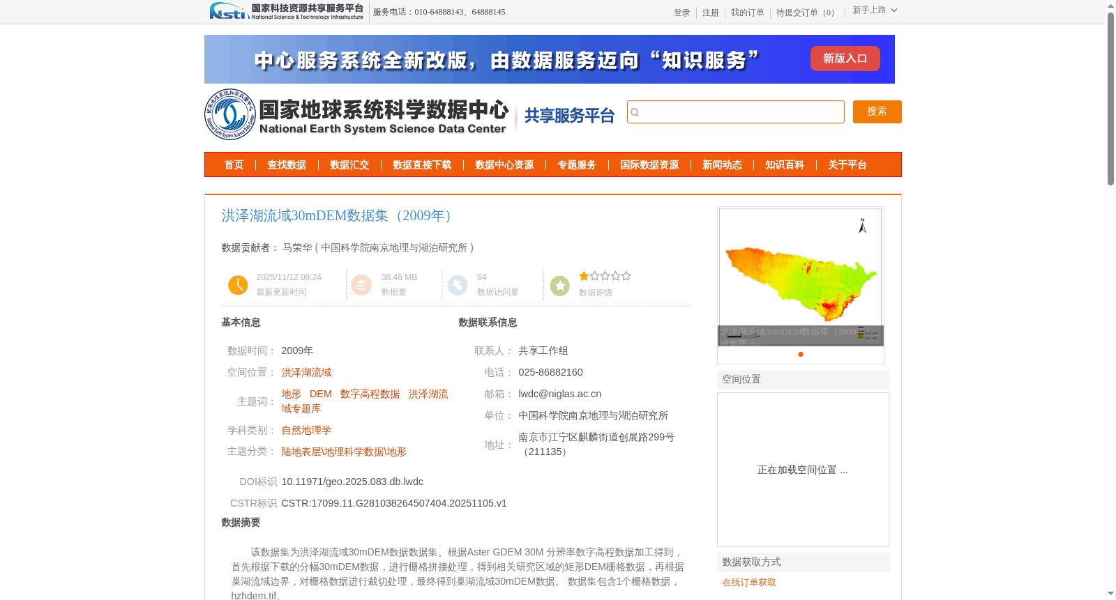
该数据集为洪泽湖流域30mDEM数据数据集。根据Aster GDEM 30M 分辨率数字高程数据加工得到,首先根据下载的分幅30mDEM数据,进行栅格拼接处理,得到相关研究区域的矩形DEM栅格数据,再根据巢湖流域边界,对栅格数据进行裁切处理,最终得到巢湖流域30mDEM数据。 数据集包含1个栅格数据,hzhdem.tif。
This dataset is the 30m DEM dataset for the Hongze Lake Basin. It is processed from the 30-meter resolution Aster GDEM digital elevation data. First, the downloaded tiled 30m DEM data are subjected to raster mosaic processing to obtain rectangular DEM raster data of the relevant research area. Then, clipping is performed on the raster data based on the boundary of the Chaohu Lake Basin, and the 30m DEM data of the Chaohu Lake Basin is finally obtained. The dataset contains one raster file, hzhdem.tif.
提供机构:
中国科学院南京地理与湖泊研究所创建时间:
2025-11-05
搜集汇总
数据集介绍
背景与挑战
背景概述
该数据集是2009年洪泽湖流域的30米分辨率数字高程模型(DEM),基于Aster GDEM V3数据加工而成,通过栅格拼接和流域边界裁切处理生成。它提供WGS84投影下的高程地形信息,数据量约38.46 MB,适用于自然地理学和地形分析等研究领域。
以上内容由遇见数据集搜集并总结生成


