2021年-2025年遥感影像建筑物矢量标注数据集
收藏资源简介:
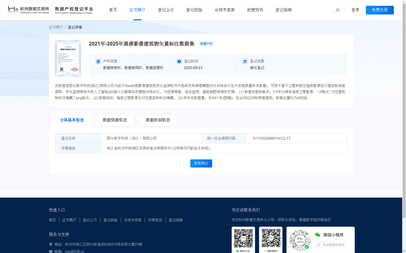
该数据是图兮数字科技(浙江)有限公司为进行GeoAI感影像建筑物变化监测软件产品研发和推理模型优化训练自行生产的高质量样本数据。 可用于基于卫星和航空遥感影像进行建筑物信息提取、变化监测等相关的人工智能(AI)语义分割算法和模型训练优化,为资源调查、违法监测、智能制图等提供支撑。 (1) 数据类型和格式:0.5米分辨率遥感卫星影像,*.tif格式; 对应建筑物标注掩膜,*.png格式; (2) 数据组成:遥感卫星影像及对应建筑物标注掩膜。 (3) 样本总数据量:共49个条(图幅),包含592235栋房屋建筑,数据总量约为40GB。
This is a high-quality sample dataset independently produced by Tuxi Digital Technology (Zhejiang) Co., Ltd. for the R&D of GeoAI remote sensing imagery building change monitoring software products and the optimization training of inference models. It can be used for the training and optimization of artificial intelligence (AI) semantic segmentation algorithms and models related to building information extraction, change monitoring and other tasks based on satellite and aerial remote sensing imagery, providing support for resource surveys, illegal monitoring, intelligent mapping and other fields. (1) Data Type and Format: 0.5-meter resolution satellite remote sensing imagery in *.tif format; corresponding building annotation masks in *.png format. (2) Dataset Composition: Satellite remote sensing imagery and its corresponding building annotation masks. (3) Total Dataset Scale: A total of 49 strips (map sheets), containing 592,235 building structures, with a total data volume of approximately 40 GB.