青海湖流域沙漠(沙地)分布数据集 (2000)
收藏资源简介:
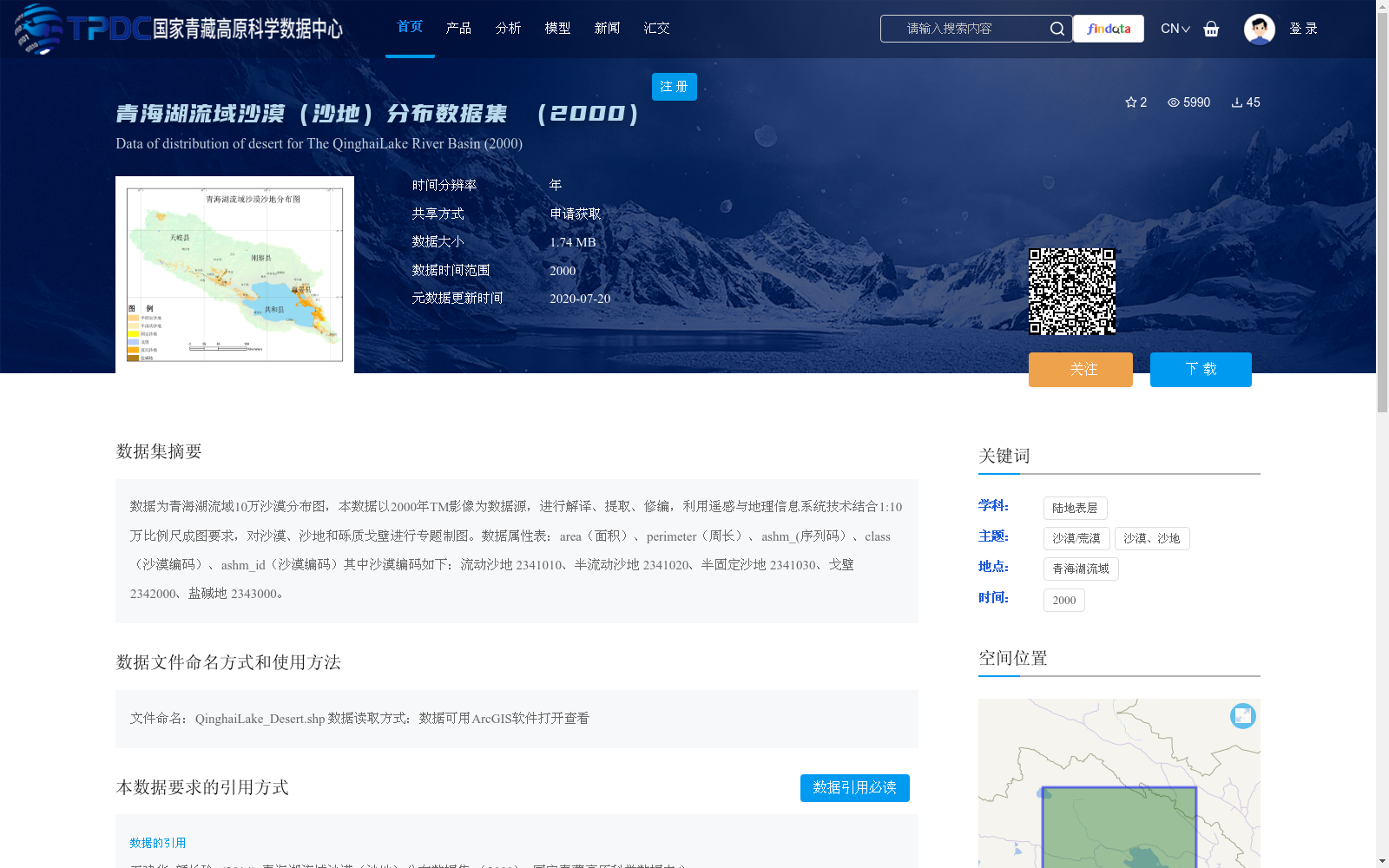
数据为青海湖流域10万沙漠分布图,本数据以2000年TM影像为数据源,进行解译、提取、修编,利用遥感与地理信息系统技术结合1:10万比例尺成图要求,对沙漠、沙地和砾质戈壁进行专题制图。数据属性表:area(面积)、perimeter(周长)、ashm_(序列码)、class(沙漠编码)、ashm_id(沙漠编码)其中沙漠编码如下:流动沙地 2341010、半流动沙地 2341020、半固定沙地 2341030、戈壁 2342000、盐碱地 2343000。
This dataset is a 1:100,000-scale desert distribution map of the Qinghai Lake Basin. It was produced using 2000 TM imagery as the primary data source, via steps including interpretation, feature extraction and revision. Leveraging remote sensing and Geographic Information System (GIS) technologies and complying with the 1:100,000-scale cartographic specifications, thematic mapping was implemented for deserts, sandy lands and gravel-covered Gobi. The associated attribute table contains the following fields: area, perimeter, ashm_ (sequence code), class (desert code), and ashm_id (desert code). The desert classification codes are detailed as follows: shifting sandy land 2341010, semi-shifting sandy land 2341020, semi-fixed sandy land 2341030, gravel-covered Gobi 2342000, and saline-alkali land 2343000.