葫芦沟流域人工蒸发皿和降水数据集(2012)
收藏国家青藏高原科学数据中心2021-04-19 更新2024-03-01 收录
下载链接:
https://data.tpdc.ac.cn/zh-hans/data/5e7e24dd-e728-47a9-b5f8-600a170fa09f
下载链接
链接失效反馈官方服务:
资源简介:
葫芦沟人工蒸发皿和降水日尺度数据集
1.数据概述:
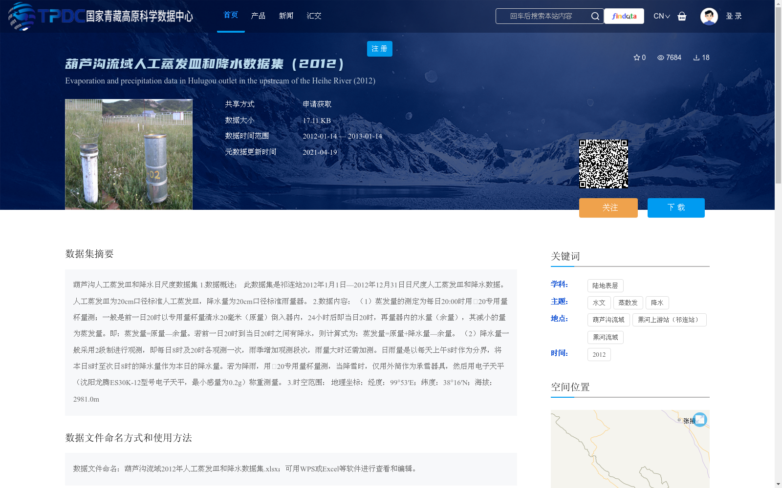
此数据集是祁连站2012年1月1日—2012年12月31日日尺度人工蒸发皿和降水数据。人工蒸发皿为20cm口径标准人工蒸发皿,降水量为20cm口径标准雨量器。
2.数据内容:
(1)蒸发量的测定为每日20:00时用20专用量杯量测;一般是前一日20时以专用量杯量清水20毫米(原量)倒入器内,24小时后即当日20时,再量器内的水量(余量),其减小的量为蒸发量。即:蒸发量=原量—余量。若前一日20时到当日20时之间有降水,则计算式为:蒸发量=原量+降水量—余量。
(2)降水量一般采用2段制进行观测,即每日8时及20时各观测一次,雨季增加观测段次,雨量大时还需加测。日雨量是以每天上午8时作为分界,将本日8时至次日8时的降水量作为本日的降水量。若为降雨,用20专用量杯量测,当降雪时,仅用外筒作为承雪器具,然后用电子天平(沈阳龙腾ES30K-12型号电子天平,最小感量为0.2g)称重测量。
3.时空范围:
地理坐标:经度:99°53′E;纬度:38°16′N;海拔:2981.0m
Daily-scale Manual Evaporation Pan and Precipitation Dataset of Hulugou
1. Data Overview:
This dataset consists of daily-scale manual evaporation pan and precipitation data collected at Qilian Station from January 1 to December 31, 2012. The evaporation pan is a standard manual evaporation pan with a 20 cm nominal diameter, and the precipitation measurement uses a standard rain gauge with a 20 cm nominal diameter.
2. Data Content:
(1) Evaporation measurement: The evaporation amount is measured at 20:00 every day using a φ20 special measuring cup. Generally, 20 mm of purified water (original volume) is poured into the pan via the special measuring cup at 20:00 the previous day. At 20:00 on the current day (24 hours later), the remaining water in the pan is measured. The evaporation is calculated as: Evaporation = Original Volume - Remaining Volume. If precipitation occurs between 20:00 the previous day and 20:00 the current day, the formula is adjusted to: Evaporation = Original Volume + Precipitation - Remaining Volume.
(2) Precipitation observation: The standard observation schedule is two segments per day, with measurements taken at 08:00 and 20:00 daily. During the rainy season, the observation frequency is increased, and additional measurements are required for heavy rainfall events. The daily precipitation is defined as the total precipitation from 08:00 on the current day to 08:00 the next day, with 08:00 as the daily cutoff. For rainfall, the φ20 special measuring cup is used for measurement. For snowfall, only the outer cylinder of the rain gauge is used as the snow collector, and the snow sample is then weighed using an electronic balance (model Shenyang Longteng ES30K-12, minimum sensitivity of 0.2 g).
3. Spatial and Temporal Scope:
Geographic coordinates: Longitude: 99°53′E; Latitude: 38°16′N; Elevation: 2981.0 m
提供机构:
陈仁升,宋耀选,刘俊峰,阳勇,刘章文,韩春坛
创建时间:
2015-02-17
搜集汇总
数据集介绍
背景与挑战
背景概述
该数据集为2012年葫芦沟流域人工蒸发皿和降水日尺度数据,包含每日蒸发量和降水量的测量数据,采用标准20cm口径蒸发皿和雨量器进行观测。数据覆盖时间为2012年1月1日至12月31日,地理坐标为经度99°53′E,纬度38°16′N,海拔2981.0m。
以上内容由遇见数据集搜集并总结生成


