
CityAVOS
收藏资源简介:
CityAVOS数据集是首个用于评估无人机在城市环境中自主搜索常见城市目标能力的基准数据集。该数据集包含2,420个任务,涵盖六个对象类别,并具有不同的难度级别,为全面评估无人机代理的搜索能力提供了可能。数据集基于EmbodiedCity平台构建,旨在模拟真实城市环境,并包含建筑物、车辆、商店、广告牌、标志和设施等六个类别的对象。每个任务都包含图像和文本描述,无人机代理需要在没有导航指令的情况下自主搜索目标对象。该数据集的创建过程涉及场景限定、目标选择、路径收集、任务补充、初始姿态分配、任务描述细化以及数据集验证和筛选等多个阶段。
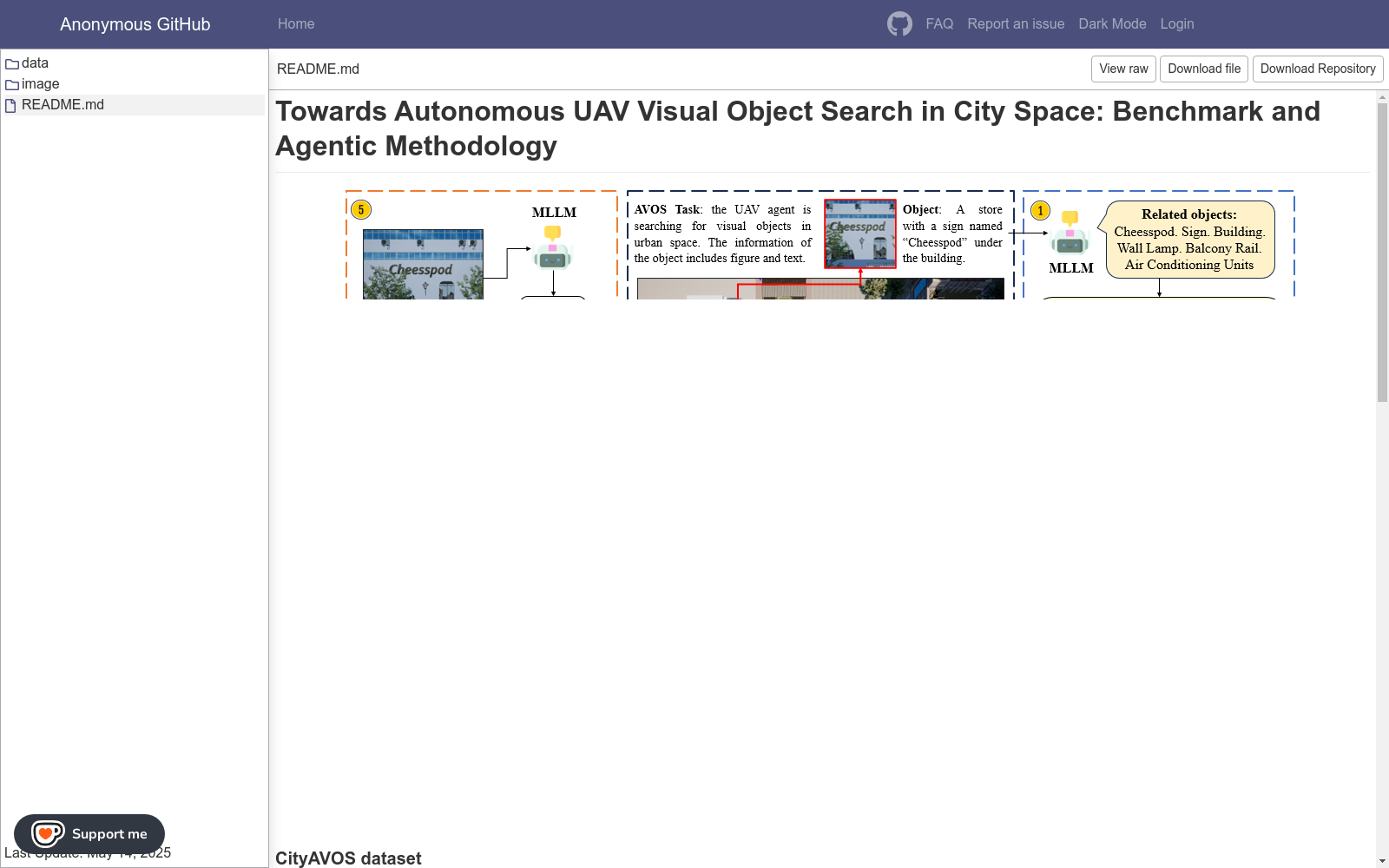
The CityAVOS dataset is the first benchmark dataset for evaluating the autonomous search capabilities of unmanned aerial vehicles (UAVs) targeting common urban objects in urban environments. It contains 2,420 tasks covering six object categories with varying difficulty levels, enabling comprehensive assessment of the search performance of UAV agents. Constructed based on the EmbodiedCity platform which simulates realistic urban environments, the dataset includes objects from six categories: buildings, vehicles, shops, billboards, signs, and facilities. Each task is paired with both image and textual descriptions, requiring UAV agents to autonomously search for target objects without prior navigation instructions. The development of this dataset involves multiple stages, including scenario definition, target selection, path collection, task supplementation, initial pose assignment, task description refinement, as well as dataset validation and filtering.
数据集概述
数据集名称
CityAVOS
数据集简介
Towards Autonomous UAV Visual Object Search in City Space: Benchmark and Agentic Methodology
最后更新时间
May 14, 2025
数据集内容
- data
- image
- README.md
相关资源
- 1Towards Autonomous UAV Visual Object Search in City Space: Benchmark and Agentic MethodologyState Key Lab of Digital-Intelligent Modeling and Simulation, Changsha, China · 2025年


