中国土壤侵蚀地图集(2014年)
收藏国家地球系统科学数据中心2020-11-03 更新2024-04-21 收录
下载链接:
https://www.geodata.cn/data/datadetails.html?dataguid=256591381268651&docId=11952
下载链接
链接失效反馈官方服务:
资源简介:
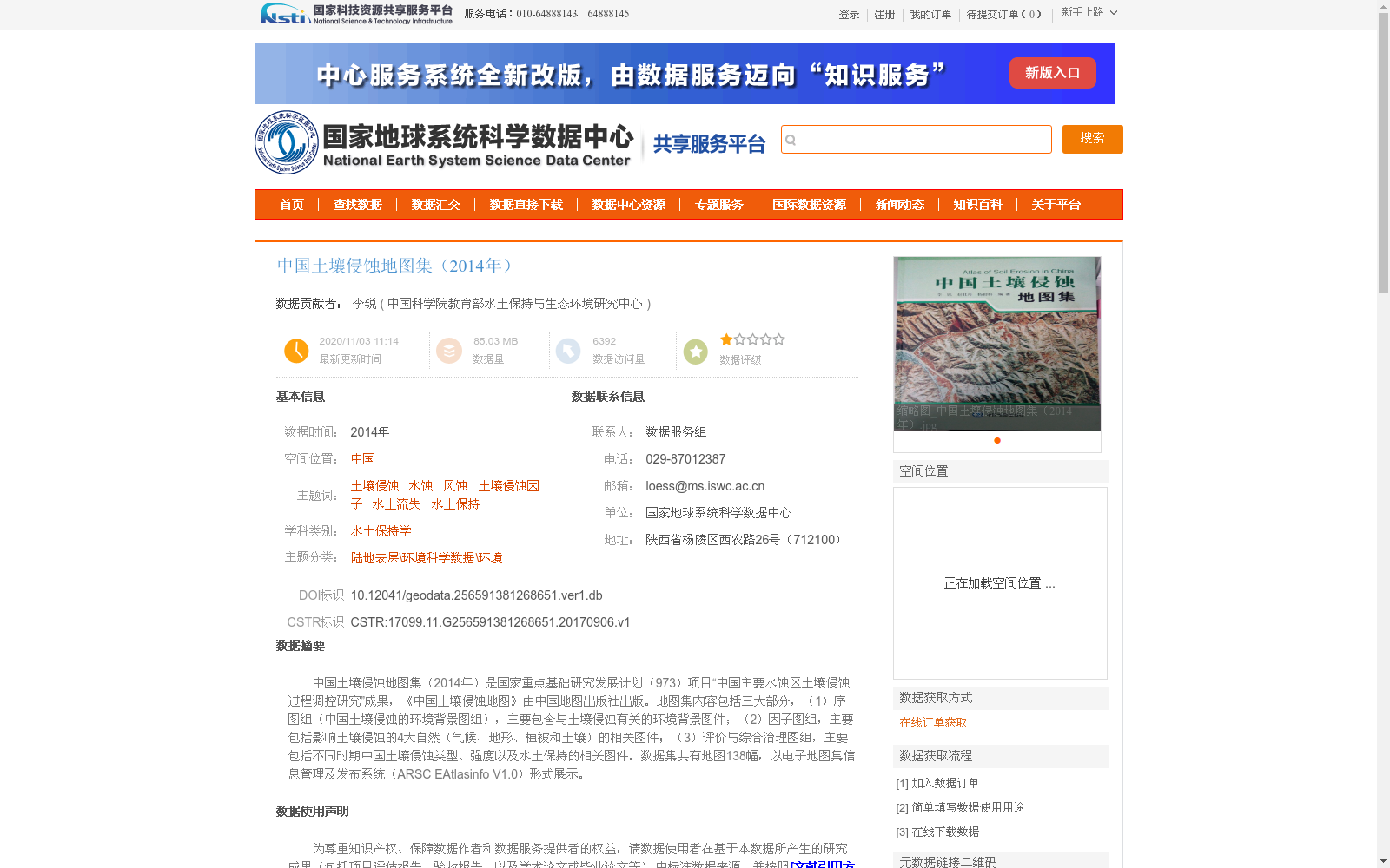
中国土壤侵蚀地图集(2014年)是国家重点基础研究发展计划(973)项目“中国主要水蚀区土壤侵蚀过程调控研究”成果,《中国土壤侵蚀地图》由中国地图出版社出版。地图集内容包括三大部分,(1)序图组(中国土壤侵蚀的环境背景图组),主要包含与土壤侵蚀有关的环境背景图件;(2)因子图组,主要包括影响土壤侵蚀的4大自然(气候、地形、植被和土壤)的相关图件;(3)评价与综合治理图组,主要包括不同时期中国土壤侵蚀类型、强度以及水土保持的相关图件。数据集共有地图138幅,以电子地图集信息管理及发布系统(ARSC EAtlasinfo V1.0)形式展示。
The Atlas of Soil Erosion in China (2014) is an outcome of the National Key Basic Research and Development Program (973 Project) entitled 'Research on Regulation of Soil Erosion Processes in Major Water Erosion Areas of China'. The Atlas of Soil Erosion in China was published by Sinomaps Press. This atlas includes three major parts: (1) Preface Map Series (Environmental Background Map Series for Soil Erosion in China), mainly containing environmental background maps related to soil erosion; (2) Factor Map Series, mainly including relevant maps of the four natural factors (climate, topography, vegetation and soil) affecting soil erosion; (3) Evaluation and Comprehensive Management Map Series, mainly including relevant maps of soil erosion types, intensities and soil and water conservation in China across different periods. The dataset consists of 138 maps in total, and is presented via the Electronic Atlas Information Management and Publishing System (ARSC EAtlasinfo V1.0).
提供机构:
中国科学院教育部水土保持与生态环境研究中心
创建时间:
2017-09-06
搜集汇总
数据集介绍
背景与挑战
背景概述
该数据集是2014年国家重点基础研究发展计划(973)项目的成果,为中国土壤侵蚀的综合性电子地图集,包含138幅地图,系统覆盖土壤侵蚀的环境背景、自然因子(如气候、地形)以及评价与治理内容。数据集以电子地图集系统形式展示,主题聚焦水土流失和水土保持,适用于环境科学和水土保持学领域的研究与应用。
以上内容由遇见数据集搜集并总结生成


