United States Commutes and Megaregions data for GIS
收藏资源简介:
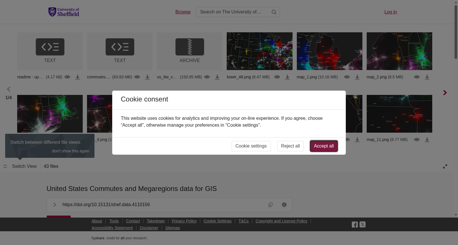
<b>This Figshare dataset contains the files created by and used in a related PLOS ONE paper, entitled 'An economic geography of the United States: from commutes to megaregions', by Garrett Dash Nelson and Alasdair Rae, published 30 November 2016. </b><b><br></b><b>Update: 27 January 2017 - see item 7. below</b><b><br></b>In addition to the files listed below, we have also provided a series of maps here, as high resolution PNGs. The fifth file below can be styled in QGIS using the QML style file provided in number 6.<b><br></b><b>Information on files</b><b><br></b><b>1.</b> A us_ttw_v3_US_only_epsg5070v2 zipped shapefile (for use in GIS software such as ArcGIS or QGIS) containing individual census tract to census tract commuter links for the entire United States, based on the 2006-2010 American Community Survey dataset, as cited in the paper.<br><b>2. </b>The commutes.net file is a Pajek format file used in the derivation of our megaregions within Combo, the partitioning algorithm we used in the paper. Pajek (Program for Large Network Analysis) is a free software package. Combo is an open source modularity optimisation program developed by researchers at MIT, and the source code can be accessed at: http://senseable.mit.edu/community_detection/<br><b>3. </b>A us_ttw_v3_US_only_upto160km_epsg5070v2 zipped shapefile. This is an extract of 1. above but includes only those commutes of 160km or less (approx 100 miles).<br><b>4. </b>A us_ttw_v3_US_only_800km_10plus_epsg5070v2 zipped shapefile. This is an extract of 1. above but includes only those commutes of 10 or more which cover a distance of 800km or more (approx 500 miles). There are just over 28,000 of these and we expect these may be occasional, weekly or otherwise irregular 'commuters' but we are not able to discern this from the underlying dataset.<br><b>5. </b>A merged_ttw_v3_origin_and_dest_communities zipped shapefile. This contains the commute data but each line also has a 'community assignment' field. The ofips_comm (origin community) and dfips_comm (destination community) fields tell you which megaregion each line belongs to. They are mostly the same, but in some cases a flow line crosses between two megaregions. The dfips_comm field was used to decide which megaregion an area belongs to.<br><b>6. </b>We also include a community_colors_20_dec_2016_v3.qml file to accompany 5. above. This is a QGIS style file and can be used to style the maps in the same way as our dark background images on Figshare.<br><b>7. </b>We have also uploaded a zipped folder with two US megaregion shapefiles - one generalized and one at full resolution. These files are similar to Figure 11 in our paper. Whereas Figure 11 was somewhat fluid in terms of the precise location of the boundaries, these files are constructed from Census Tracts so they do not match exactly the lines shown in Figure 11. However, they do provide a very close match to the regions labelled in Figure 11 of the paper. These files are provided so that other researchers can then analyse associated data at these scales. The Shapefiles have three columns - one contains the original megaregion names from the PLOS ONE paper, another contains a new megaregion name based in part on post-publication interactions with readers, and the third column indicates the name of a major city in each megaregion. We hope you find these files useful.<br><b><br></b>Please see the attached readme file for full information.
**本Figshare数据集包含相关PLOS ONE论文创作并使用的全部文件,该论文题为《美国经济地理:从通勤到巨型都市区》,作者为Garrett Dash Nelson与Alasdair Rae,于2016年11月30日发表。** **更新说明:2017年1月27日——详见下文第7项** 除下述所列文件外,我们还在此提供了一系列高分辨率PNG格式地图。下文第5个文件可借助第6项提供的QML样式文件,在QGIS中完成样式渲染。 **文件详情** 1. 一个名为`us_ttw_v3_US_only_epsg5070v2`的压缩形状文件(shapefile),适用于ArcGIS、QGIS等地理信息系统软件,包含基于2006-2010年美国社区调查(American Community Survey, ACS)数据集的全美单个人口普查区(census tract)到人口普查区的通勤联系数据,相关引用详见论文。 2. `commutes.net`文件为帕杰克(Pajek,大型网络分析程序,Program for Large Network Analysis)格式文件,用于在Combo算法中推导巨型都市区,该算法为我们在论文中使用的分区工具。帕杰克为免费软件包。Combo是由麻省理工学院(MIT)研究人员开发的开源模块化优化程序,其源代码可通过以下网址获取:http://senseable.mit.edu/community_detection/ 3. 一个名为`us_ttw_v3_US_only_upto160km_epsg5070v2`的压缩形状文件。该文件为上述第1项文件的子集,仅收录距离不超过160公里(约100英里)的通勤记录。 4. 一个名为`us_ttw_v3_US_only_800km_10plus_epsg5070v2`的压缩形状文件。该文件为上述第1项文件的子集,仅收录通勤距离达800公里(约500英里)及以上、且通勤频次不少于10次的记录。此类记录共计约28000条,我们推测其可能为偶尔出行、每周通勤或其他非固定频次的通勤者,但无法从原始数据集中确认这一点。 5. 一个名为`merged_ttw_v3_origin_and_dest_communities`的压缩形状文件。该文件包含通勤数据,且每条记录均附带“社区分配”字段。其中`ofips_comm`(起点社区)与`dfips_comm`(终点社区)字段可用于标识每条通勤路线所属的巨型都市区。二者多数情况下取值一致,但部分通勤路线会跨越两个巨型都市区。`dfips_comm`字段用于确定某一区域所属的巨型都市区。 6. 我们还提供了配套于上述第5项文件的`community_colors_20_dec_2016_v3.qml`文件。该文件为QGIS样式文件,可将地图渲染为与Figshare平台上的深色背景图像一致的样式。 7. 我们还上传了一个压缩文件夹,内含两份美国巨型都市区形状文件:一份为简化版本,另一份为全分辨率版本。这些文件与我们论文中的图11类似。尽管图11的边界精确位置存在一定弹性,但本文件基于人口普查区构建,因此与图11中的边界线条并非完全匹配。不过,它们与论文图11中标注的区域高度吻合。提供此类文件旨在方便其他研究人员基于这些区域尺度开展相关数据分析。该形状文件包含三列数据:第一列为PLOS ONE论文中使用的原始巨型都市区名称,第二列为部分基于出版后读者反馈拟定的新巨型都市区名称,第三列为对应巨型都市区的主要城市名称。衷心希望这些文件对您的研究有所助益。 完整详细信息请参阅附带的自述文件。