全球红树林10米分辨率数据集
收藏地球大数据科学工程2024-06-22 收录
下载链接:
https://data.casearth.cn/sdo/detail/66716ada819aec0d5564be85
下载链接
链接失效反馈官方服务:
资源简介:
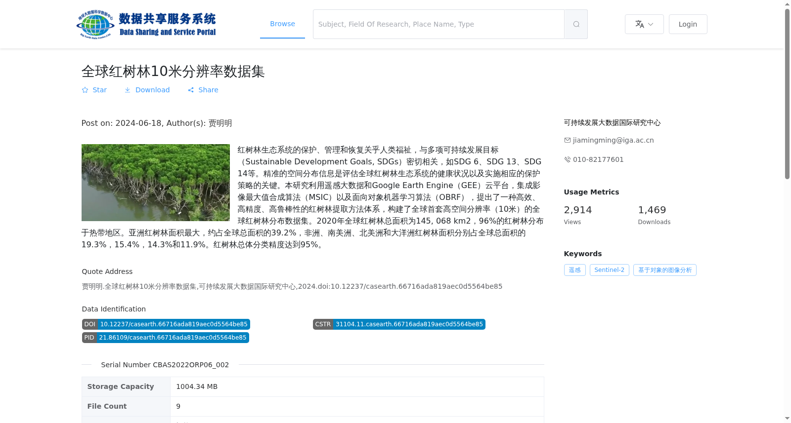
红树林生态系统的保护、管理和恢复关乎人类福祉,与多项可持续发展目标(Sustainable Development Goals, SDGs)密切相关,如SDG 6、SDG 13、SDG 14等。精准的空间分布信息是评估全球红树林生态系统的健康状况以及实施相应的保护策略的关键。本研究利用遥感大数据和Google Earth Engine(GEE)云平台,集成影像最大值合成算法(MSIC)以及面向对象机器学习算法(OBRF),提出了一种高效、高精度、高鲁棒性的红树林提取方法体系,构建了全球首套高空间分辨率(10米)的全球红树林分布数据集。2020年全球红树林总面积为145, 068 km2,96%的红树林分布于热带地区。亚洲红树林面积最大,约占全球总面积的39.2%,非洲、南美洲、北美洲和大洋洲红树林面积分别占全球总面积的19.3%,15.4%,14.3%和11.9%。红树林总体分类精度达到95%。
The conservation, management, and restoration of mangrove ecosystems are closely tied to human well-being and multiple Sustainable Development Goals (SDGs), such as SDG 6, SDG 13, and SDG 14. Accurate spatial distribution information is critical for assessing the health status of global mangrove ecosystems and implementing targeted conservation strategies. In this study, leveraging remote sensing big data and the Google Earth Engine (GEE) cloud platform, and integrating the Maximum Value Synthetic Image Composite (MSIC) algorithm and the object-oriented machine learning algorithm (OBRF), we developed an efficient, high-precision, and highly robust mangrove extraction framework, and constructed the world's first global mangrove distribution dataset with a high spatial resolution of 10 meters. The total global mangrove area in 2020 was 145,068 km², with 96% of mangroves distributed in tropical regions. Asia has the largest mangrove area, accounting for approximately 39.2% of the global total, while Africa, South America, North America, and Oceania account for 19.3%, 15.4%, 14.3%, and 11.9% of the global total, respectively. The overall classification accuracy of mangroves reached 95%.
提供机构:
可持续发展大数据国际研究中心
搜集汇总
数据集介绍
背景与挑战
背景概述
该数据集是全球首套10米高空间分辨率的红树林分布数据,基于2020年Sentinel-2遥感影像,利用Google Earth Engine平台结合最大值合成和面向对象机器学习算法生成,总体分类精度达95%。数据显示2020年全球红树林总面积为145,068 km²,其中96%分布于热带地区,亚洲红树林面积占比最大(约39.2%)。
以上内容由遇见数据集搜集并总结生成


