青藏高原城镇建设用地数据(1980-2020)
收藏资源简介:
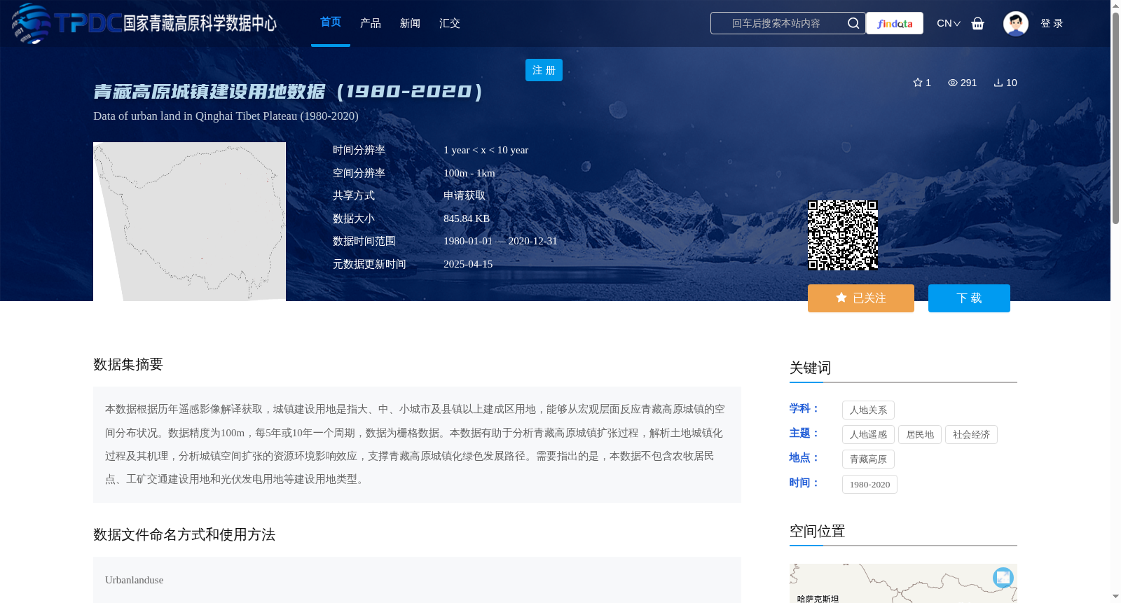
本数据根据历年遥感影像解译获取,城镇建设用地是指大、中、小城市及县镇以上建成区用地,能够从宏观层面反应青藏高原城镇的空间分布状况。数据精度为100m,每5年或10年一个周期,数据为栅格数据。本数据有助于分析青藏高原城镇扩张过程,解析土地城镇化过程及其机理,分析城镇空间扩张的资源环境影响效应,支撑青藏高原城镇化绿色发展路径。需要指出的是,本数据不包含农牧居民点、工矿交通建设用地和光伏发电用地等建设用地类型。
This dataset is developed based on the interpretation of long-term remote sensing imagery. Urban construction land herein refers to built-up areas of large, medium, and small cities as well as towns at the county level and above, which can reveal the spatial distribution pattern of towns across the Qinghai-Tibet Plateau at a macroscopic level. It has a spatial resolution of 100 meters, with a temporal update cycle of every 5 or 10 years, and is stored in raster format. This dataset enables analysis of urban expansion processes on the Qinghai-Tibet Plateau, elucidates the process and underlying mechanism of land urbanization, evaluates the resource and environmental impacts of urban spatial expansion, and supports the formulation of green urbanization development pathways for the Qinghai-Tibet Plateau. It is important to note that this dataset excludes construction land categories such as farming and pastoral settlements, industrial, mining and transportation construction land, and photovoltaic power generation land.