喜马拉雅山地区重大地质灾害统计数据集
收藏国家青藏高原科学数据中心2021-04-19 更新2024-03-07 收录
下载链接:
https://data.tpdc.ac.cn/zh-hans/data/a2128e3f-a913-40ba-a7b1-3318cb4031d5
下载链接
链接失效反馈官方服务:
资源简介:
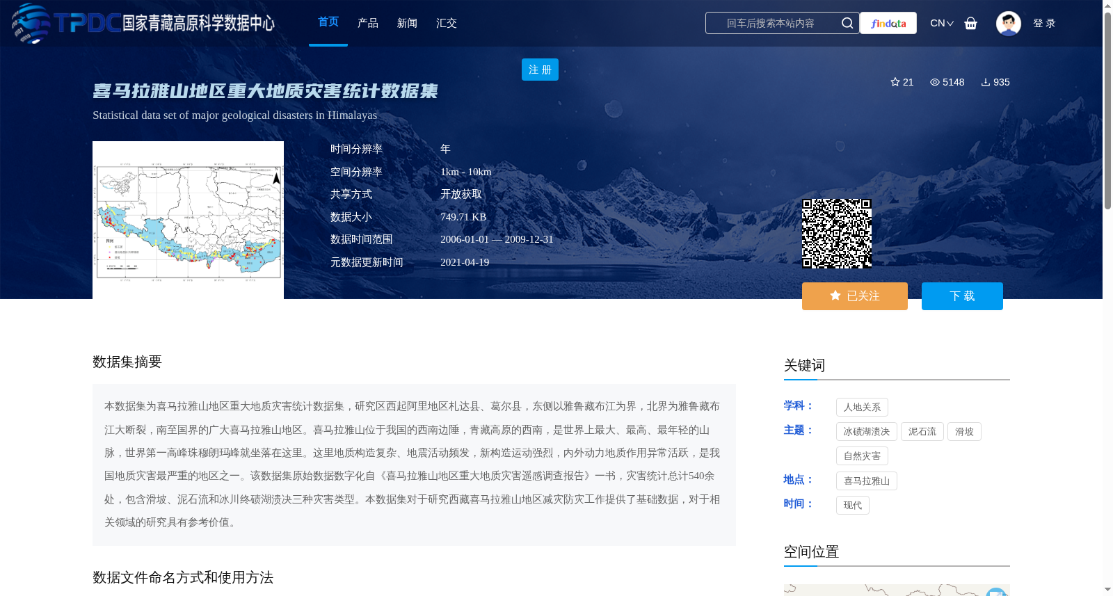
本数据集为喜马拉雅山地区重大地质灾害统计数据集,研究区西起阿里地区札达县、葛尔县,东侧以雅鲁藏布江为界,北界为雅鲁藏布江大断裂,南至国界的广大喜马拉雅山地区。喜马拉雅山位于我国的西南边陲,青藏高原的西南,是世界上最大、最高、最年轻的山脉,世界第一高峰珠穆朗玛峰就坐落在这里。这里地质构造复杂、地震活动频发,新构造运动强烈,内外动力地质作用异常活跃,是我国地质灾害最严重的地区之一。该数据集原始数据数字化自《喜马拉雅山地区重大地质灾害遥感调查报告》一书,灾害统计总计540余处,包含滑坡、泥石流和冰川终碛湖溃决三种灾害类型。本数据集对于研究西藏喜马拉雅山地区减灾防灾工作提供了基础数据,对于相关领域的研究具有参考价值。
This dataset is a statistical compilation of major geological disasters in the Himalayas region. The study area covers the vast Himalayas region, spanning westward from Zanda County and Gar County in Ngari Prefecture, bounded by the Yarlung Zangbo River to the east, the Yarlung Zangbo River Fault to the north, and the national border to the south.
The Himalayas, located on the southwestern border of China and the southwestern edge of the Qinghai-Tibet Plateau, are the world's largest, highest and youngest mountain range, hosting Mount Qomolangma, the world's highest peak. This region is characterized by complex geological structures, frequent seismic activities, intense neotectonic movements, and exceptionally active endogenic and exogenic geological processes, making it one of the areas most severely affected by geological disasters in China.
The original data of this dataset was digitized from the monograph *Remote Sensing Survey Report on Major Geological Disasters in the Himalayas Region*. A total of over 540 disasters are documented, including three types: landslides, debris flows, and glacial moraine-dammed lake outbursts.
This dataset provides fundamental data for research on disaster mitigation and prevention in the Himalayas region of Tibet, and holds reference significance for studies in relevant fields.
提供机构:
童立强
创建时间:
2020-10-25
搜集汇总
数据集介绍
背景与挑战
背景概述
该数据集统计了喜马拉雅山地区2006年至2009年间的重大地质灾害,包括滑坡、泥石流和冰川终碛湖溃决三种类型,总计540余处灾害点,数据来源于遥感调查报告的数字化成果。数据集以Excel表格和Shapefile地理数据格式提供,覆盖了灾害的名称、位置、规模等信息,为减灾防灾研究和相关领域工作提供了基础数据支持。
以上内容由遇见数据集搜集并总结生成


