
LUH2-ISIMIP2b Harmonized Global Land Use for the Years 2015-2100
收藏doi.org2020-04-21 更新2025-03-25 收录
下载链接:
https://doi.org/10.3334/ORNLDAAC/1721
下载链接
链接失效反馈官方服务:
资源简介:
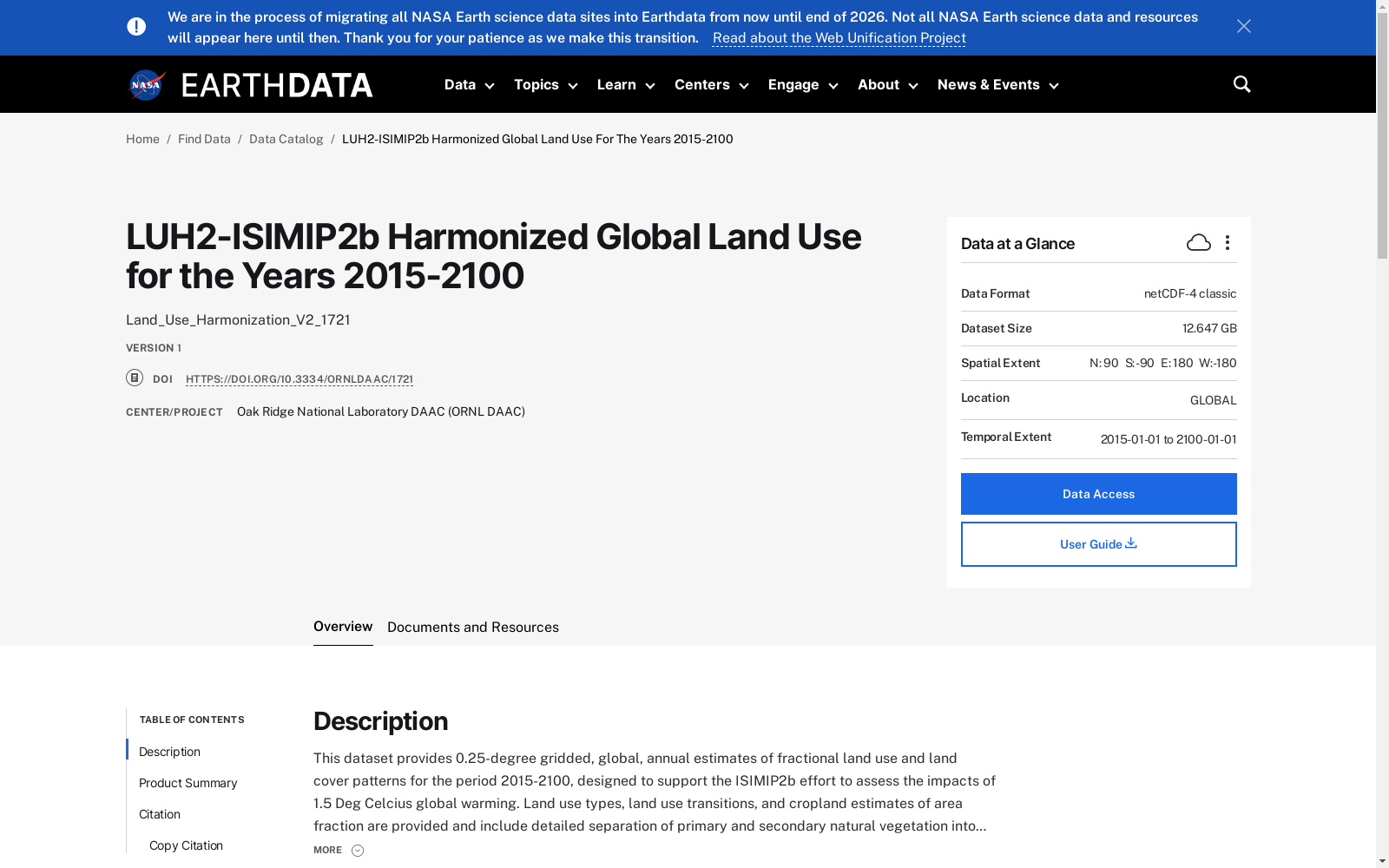
This dataset provides 0.25-degree gridded, global, annual estimates of fractional land use and land cover patterns for the period 2015-2100, designed to support the ISIMIP2b effort to assess the impacts of 1.5 Deg Celcius global warming. Land use types, land use transitions, and cropland estimates of area fraction are provided and include detailed separation of primary and secondary natural vegetation into forest and non-forest sub-types, pasture into managed pasture and rangeland, and cropland into multiple crop functional types; all transitions between land use states per grid cell per year, including crop rotations, shifting cultivation, and wood harvest; and agriculture management including irrigation, synthetic nitrogen fertilizer, and biofuel management. The LUH2-ISIMIP2b datasets were derived using Land Use Harmonization 2 (LUH2) methodology and are based on land-use scenarios provided by the REMIND-MAgPIE Integrated Assessment Model using an SSP2 storyline along with RCP2.6 and RCP6.0 emissions scenarios. In contrast to the standard SSP scenarios, these land use changes additionally account for climate and atmospheric CO2 fertilization effects on the underlying patterns of potential crop yields, water availability, and terrestrial carbon content. This is achieved by using the LPJmL (Lund-Potsdam-Jena managed land) model forced with atmospheric CO2 concentrations and patterns of climate change generated from 4 different climate models (GFDL, HADGEM, IPSL, and MIROC) consistent with the 2 different RCP scenarios, resulting in a set of 8 different LUH2-ISIMIP2b datasets.
本数据集提供了2015年至2100年期间0.25度网格格式的全球年度土地利用和土地覆盖模式分数估计,旨在支持评估全球变暖1.5摄氏度影响的ISIMIP2b项目。数据集包含了土地利用类型、土地利用转换以及农田面积分数估计,并对原生和次生自然植被进行了细致的森林与非森林亚型划分,草场分为人工草场和牧场,以及农田分为多种作物功能类型;每年每个网格单元内所有土地利用状态之间的转换,包括作物轮作、轮耕和木材采伐;以及包括灌溉、合成氮肥和生物燃料管理在内的农业管理。LUH2-ISIMIP2b数据集是基于土地利用协调化2(LUH2)方法推导而来,并以REMIND-MAgPIE综合评估模型提供的土地利用情景为基础,采用SSP2情景故事线和RCP2.6以及RCP6.0排放情景。与标准SSP情景不同,这些土地利用变化还考虑了气候和大气CO2施肥效应对潜在作物产量、水资源可用性和陆地碳含量的基础模式的影响。这是通过使用LPJmL(Lund-Potsdam-Jena管理土地)模型,该模型受到大气CO2浓度和气候变化模式的驱动,这些模式由4种不同的气候模型(GFDL、HADGEM、IPSL和MIROC)生成,并与2种不同的RCP情景相一致,从而产生了8个不同的LUH2-ISIMIP2b数据集。
提供机构:
doi.org
搜集汇总
数据集介绍
背景与挑战
背景概述
该数据集提供了2015-2100年全球0.25度网格化的年度土地利用和土地覆盖模式估计,包括详细的土地利用类型、过渡和农业管理信息。基于LUH2方法,结合SSP2情景和RCP排放情景,特别考虑了气候和CO2施肥效应的影响,适用于评估1.5摄氏度全球变暖的影响。
以上内容由遇见数据集搜集并总结生成



