吉林省西部30m盐碱地分布遥感监测空间数据集(2015年)
收藏国家地球系统科学数据中心2020-07-04 更新2024-03-04 收录
下载链接:
https://www.geodata.cn/data/datadetails.html?dataguid=173117691360633&docId=12893
下载链接
链接失效反馈官方服务:
资源简介:
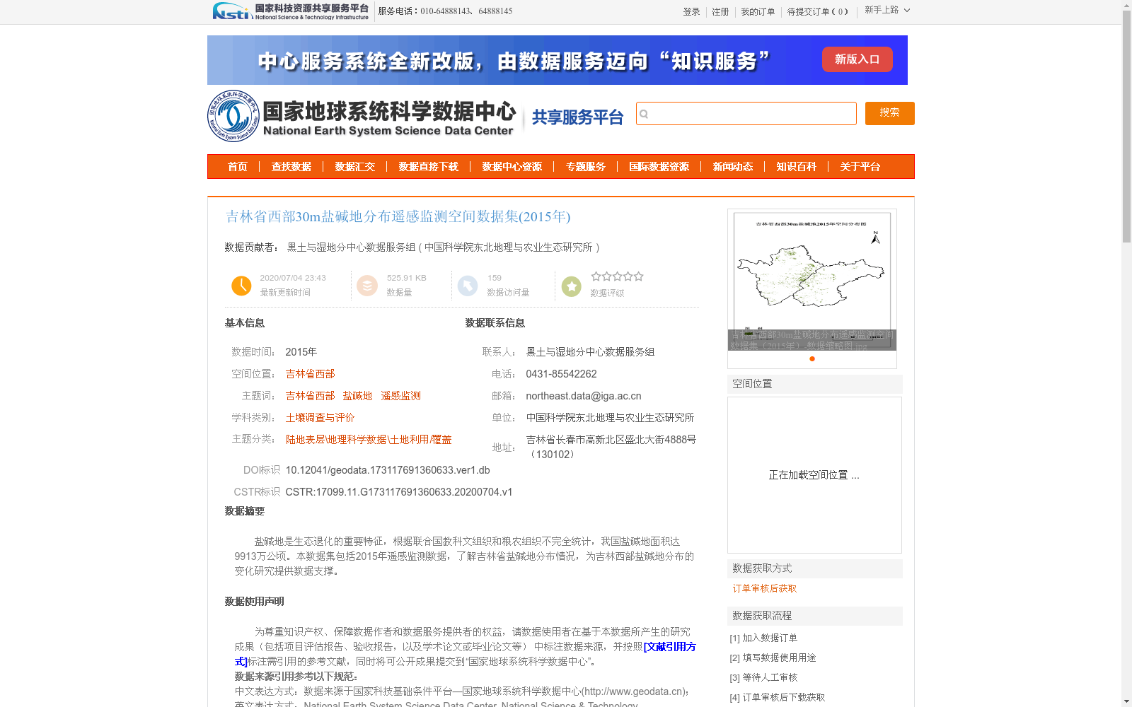
盐碱地是生态退化的重要特征,根据联合国教科文组织和粮农组织不完全统计,我国盐碱地面积达9913万公顷。本数据集包括2015年遥感监测数据,了解吉林省盐碱地分布情况,为吉林西部盐碱地分布的变化研究提供数据支撑。
Saline-alkali land is an important characteristic of ecological degradation. According to incomplete statistics from the United Nations Educational, Scientific and Cultural Organization (UNESCO) and the Food and Agriculture Organization of the United Nations (FAO), the total area of saline-alkali land in China reaches 99.13 million hectares. This dataset contains remote sensing monitoring data from 2015, which documents the distribution of saline-alkali land in Jilin Province, and provides data support for studies on the changes in the distribution of saline-alkali land in western Jilin.
提供机构:
中国科学院东北地理与农业生态研究所
创建时间:
2020-07-04
搜集汇总
数据集介绍
背景与挑战
背景概述
该数据集是2015年吉林省西部盐碱地分布的遥感监测空间数据,以30米分辨率提供,旨在支持盐碱地生态退化研究和分布变化分析。数据基于Landsat影像,采用面向对象的分类方法提取,确保高精度(一级类精度90%以上),并采用Krasovsky_1940_Albers投影,质量经过严格审查,可靠优良。数据集通过订单审核获取,适用于土壤调查与评价等科学研究。
以上内容由遇见数据集搜集并总结生成


