祁连山国家公园地形地势(2000)
收藏国家青藏高原科学数据中心2023-05-25 更新2024-03-06 收录
下载链接:
https://data.tpdc.ac.cn/zh-hans/data/a9018f2d-e552-4084-b58e-df68e1743122
下载链接
链接失效反馈官方服务:
资源简介:
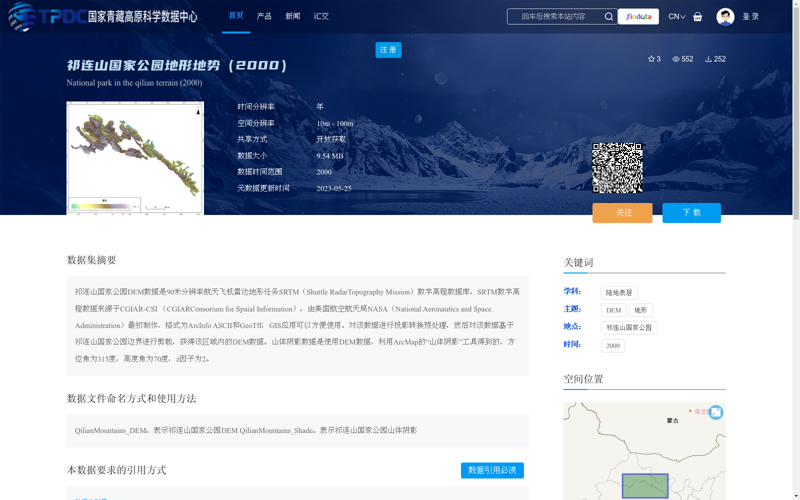
祁连山国家公园DEM数据是90米分辨率航天飞机雷达地形任务SRTM(Shuttle RadarTopography Mission)数字高程数据库,SRTM数字高程数据来源于CGIAR-CSI (CGIARConsorium for Spaial Information),由美国航空航天局NASA(National Aeronautics and Space Administration)最初制作,格式为Arclnfo ASCII和GeoTff,GIS应用可以方便使用。对该数据进行投影转换预处理,然后对该数据基于祁连山国家公园边界进行剪裁,获得该区域内的DEM数据。山体阴影数据是使用DEM数据,利用ArcMap的“山体阴影”工具得到的,方位角为315度,高度角为70度,z因子为2。
The DEM data of Qilian Mountain National Park is a 90-meter resolution digital elevation database sourced from the Shuttle Radar Topography Mission (SRTM). The SRTM digital elevation data was originally produced by the National Aeronautics and Space Administration (NASA) of the United States, with its source being CGIAR-CSI (CGIAR Consortium for Spatial Information). The data is available in ArcInfo ASCII and GeoTIFF formats, which can be conveniently applied in GIS applications. Preprocessing including projection conversion was performed on the original dataset, and then clipping was conducted based on the boundary of Qilian Mountain National Park to obtain the DEM data within the park's scope. The hillshade data was generated using the DEM data via the "Hillshade" tool in ArcMap, with an azimuth angle of 315 degrees, altitude angle of 70 degrees, and z-factor of 2.
提供机构:
美国国家航空航天局
创建时间:
2023-04-22
搜集汇总
数据集介绍
背景与挑战
背景概述
该数据集为祁连山国家公园2000年的地形地势数据,基于90米分辨率的SRTM数字高程数据库,经过投影转换和边界剪裁处理,适用于地理信息系统应用。数据包括DEM和山体阴影两部分,空间分辨率为10m - 100m,数据大小为9.54 MB。
以上内容由遇见数据集搜集并总结生成


