喜马拉雅山区水系网数据(2018)
收藏国家青藏高原科学数据中心2022-05-13 更新2024-03-01 收录
下载链接:
https://data.tpdc.ac.cn/zh-hans/data/94ff9838-c5c7-4904-9325-4feda0380121
下载链接
链接失效反馈官方服务:
资源简介:
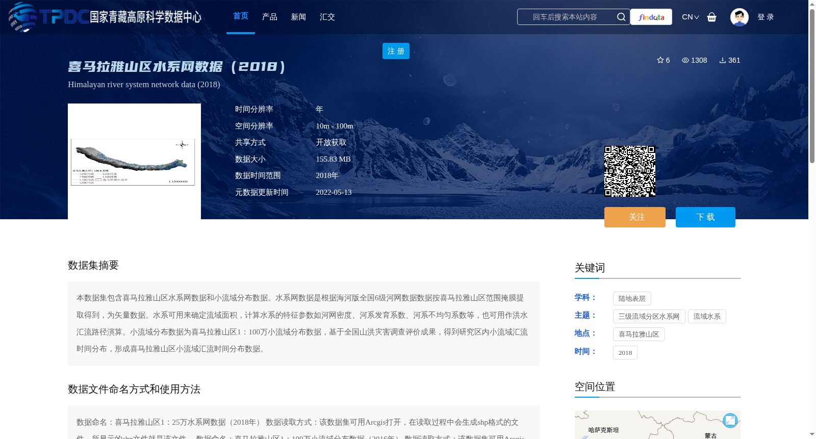
本数据集包含喜马拉雅山区水系网数据和小流域分布数据。水系网数据是根据海河版全国6级河网数据数据按喜马拉雅山区范围掩膜提取得到,为矢量数据。水系可用来确定流域面积,计算水系的特征参数如河网密度、河系发育系数、河系不均匀系数等,也可用作洪水汇流路径演算。小流域分布数据为喜马拉雅山区1:100万小流域分布数据,基于全国山洪灾害调查评价成果,得到研究区内小流域汇流时间分布,形成喜马拉雅山区小流域汇流时间分布数据。
This dataset includes two core datasets: water system network data and small watershed distribution data for the Himalayan region.
The water system network data is extracted from the Haihe River-version national 6-level river network dataset by masking with the geographic boundary of the Himalayan region, and is stored in vector format. This dataset can be utilized to delineate watershed areas, calculate characteristic hydrological parameters of water systems such as river network density, river system development coefficient, and river system non-uniformity coefficient, as well as to conduct flood flow path routing simulations.
The small watershed distribution data is the 1:1,000,000-scale small watershed distribution dataset for the Himalayan region. Based on the national survey and assessment results of mountain flood disasters, the small watershed confluence time distribution within the study area was derived, forming the small watershed confluence time distribution data for the Himalayan region.
提供机构:
王中根
创建时间:
2022-05-13
搜集汇总
数据集介绍
背景与挑战
背景概述
该数据集包含2018年喜马拉雅山区水系网数据和小流域分布数据,空间分辨率为10m-100m,数据大小为155.83 MB,开放获取。水系网数据可用于确定流域面积、计算水系特征参数及洪水汇流路径演算,小流域分布数据则基于全国山洪灾害调查评价成果,提供研究区内小流域汇流时间分布信息。
以上内容由遇见数据集搜集并总结生成


