用于陆面模拟的中国土壤数据集(第二版)
收藏国家青藏高原科学数据中心2025-06-23 更新2024-11-23 收录
下载链接:
https://data.tpdc.ac.cn/zh-hans/data/46ddd893-3b2b-4bb3-b9e6-b043f3c5c3a2
下载链接
链接失效反馈官方服务:
资源简介:
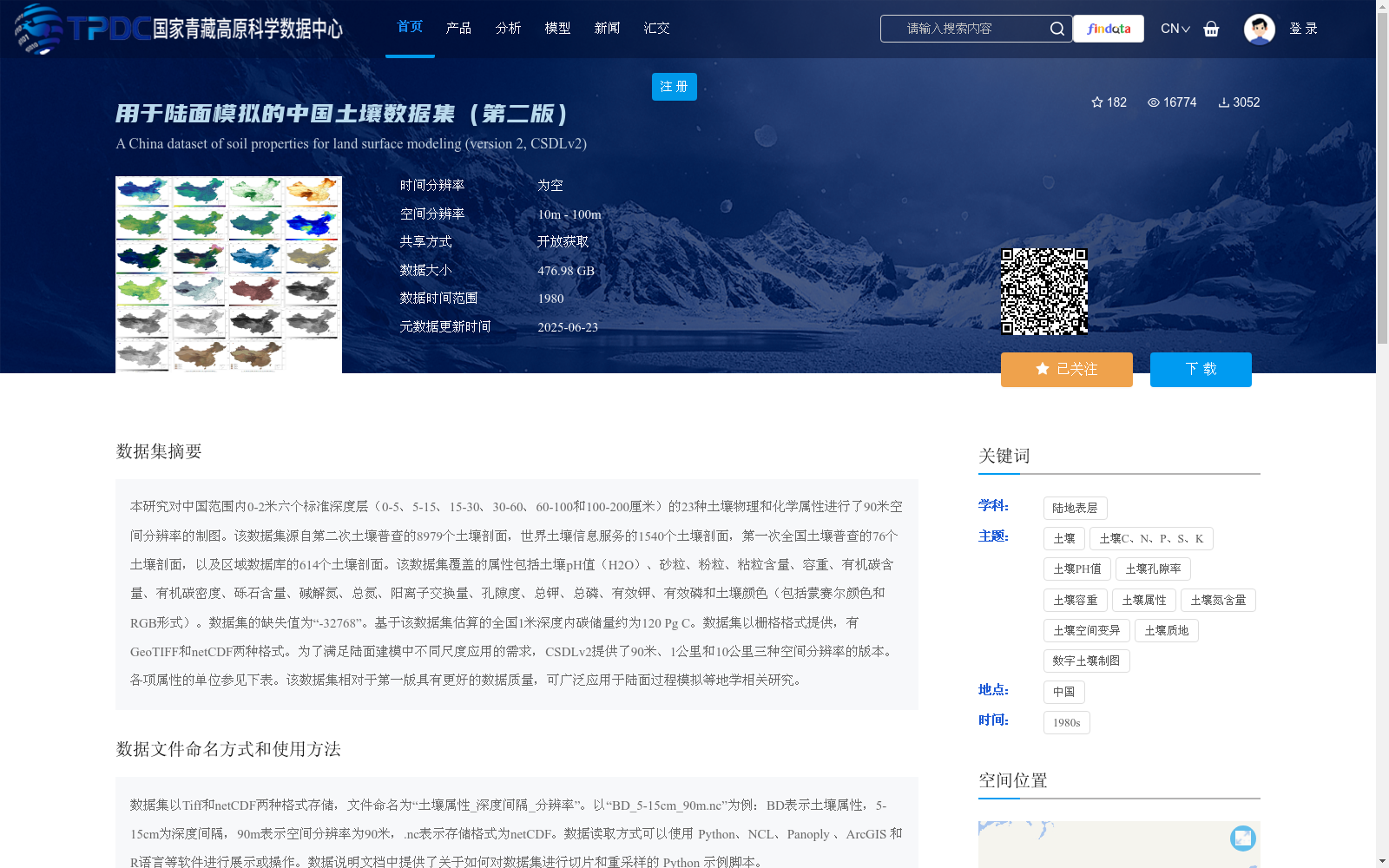
本研究对中国范围内0-2米六个标准深度层(0-5、5-15、15-30、30-60、60-100和100-200厘米)的23种土壤物理和化学属性进行了90米空间分辨率的制图。该数据集源自第二次土壤普查的8979个土壤剖面,世界土壤信息服务的1540个土壤剖面,第一次全国土壤普查的76个土壤剖面,以及区域数据库的614个土壤剖面。该数据集覆盖的属性包括土壤pH值(H2O)、砂粒、粉粒、粘粒含量、容重、有机碳含量、有机碳密度、砾石含量、碱解氮、总氮、阳离子交换量、孔隙度、总钾、总磷、有效钾、有效磷和土壤颜色(包括蒙赛尔颜色和RGB形式)。数据集的缺失值为“-32768”。基于该数据集估算的全国1米深度内碳储量约为120 Pg C。数据集以栅格格式提供,有GeoTIFF和netCDF两种格式。为了满足陆面建模中不同尺度应用的需求,CSDLv2提供了90米、1公里和10公里三种空间分辨率的版本。各项属性的单位参见下表。该数据集相对于第一版具有更好的数据质量,可广泛应用于陆面过程模拟等地学相关研究。
This study mapped 23 soil physical and chemical properties at 90-meter spatial resolution across six standard depth layers (0–5, 5–15, 15–30, 30–60, 60–100, and 100–200 cm) in China. This dataset is compiled from 8979 soil profiles from the Second National Soil Survey, 1540 soil profiles from the World Soil Information Service, 76 soil profiles from the First National Soil Survey, and 614 soil profiles from regional databases. The covered properties include soil pH (H₂O), sand content, silt content, clay content, bulk density, soil organic carbon (SOC) content, soil organic carbon density, gravel content, alkali-hydrolyzable nitrogen, total nitrogen, cation exchange capacity (CEC), porosity, total potassium, total phosphorus, available potassium, available phosphorus, and soil color (including Munsell color and RGB formats). Missing values in the dataset are denoted by "-32768". The estimated national soil carbon storage within 1 m depth based on this dataset is approximately 120 Pg C. The dataset is provided in raster formats, specifically GeoTIFF and netCDF. To support multi-scale applications in land surface modeling, CSDLv2 offers three spatial resolution versions: 90 m, 1 km, and 10 km. The units of each property are listed in the table below. Compared with the first version, this dataset has improved data quality and can be widely used in geoscience-related research such as land surface process simulation.
提供机构:
石高松,上官微
创建时间:
2024-06-21
搜集汇总
数据集介绍
背景与挑战
背景概述
该数据集是中国范围内高分辨率(90米,另有1公里和10公里版本)的土壤属性数据集,覆盖0-2米深度六个标准层的23种物理和化学属性,如pH值、质地、有机碳等,源自超过1.1万个土壤剖面实测数据。它专为陆面过程模拟设计,提供GeoTIFF和netCDF格式,数据质量优于第一版,可用于碳储量估算等多尺度地学研究。
以上内容由遇见数据集搜集并总结生成


