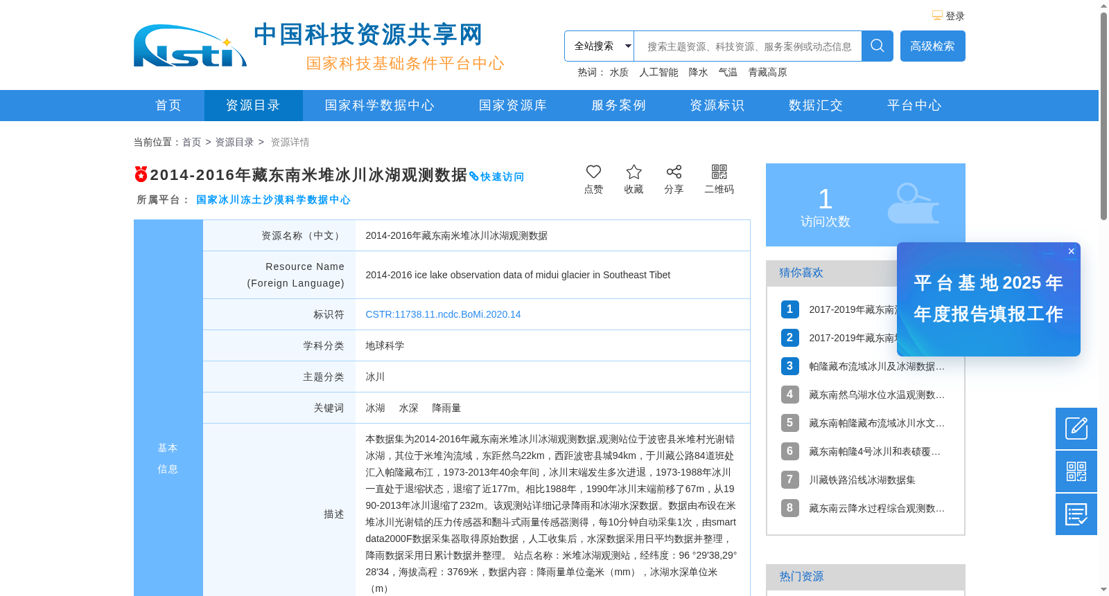
2014-2016年藏东南米堆冰川冰湖观测数据
收藏资源简介:
本数据集为2014-2016年藏东南米堆冰川冰湖观测数据,观测站位于波密县米堆村光谢错冰湖,其位于米堆沟流域,东距然乌22km,西距波密县城94km,于川藏公路84道班处汇入帕隆藏布江,1973-2013年40余年间,冰川末端发生多次进退,1973-1988年冰川一直处于退缩状态,退缩了近177m。相比1988年,1990年冰川末端前移了67m,从1990-2013年冰川退缩了232m。该观测站详细记录降雨和冰湖水深数据。数据由布设在米堆冰川光谢错的压力传感器和翻斗式雨量传感器测得,每10分钟自动采集1次,由smartdata2000F数据采集器取得原始数据,人工收集后,水深数据采用日平均数据并整理,降雨数据采用日累计数据并整理。 站点名称:米堆冰湖观测站,经纬度:96 °29′38,29°28′34,海拔高程:3769米,数据内容:降雨量单位毫米(mm),冰湖水深单位米(m)
This dataset contains observational data of the Midui Glacier's glacial lake in the southeastern Tibetan Plateau from 2014 to 2016. The observation station is located at Guangxiecuo Glacial Lake in Midui Village, Bomi County, which falls within the Midui Gully Basin. It is 22 km east of Ranwu and 94 km west of Bomi County seat, and converges with the Parlung Tsangpo River at the 84th work section of the Sichuan-Tibet Highway. Over the more than 40-year period from 1973 to 2013, the glacier terminus experienced multiple advances and retreats. From 1973 to 1988, the glacier remained in a state of retreat, with a total retreat of approximately 177 meters. Compared to 1988, the glacier terminus advanced by 67 meters in 1990, and then retreated 232 meters from 1990 to 2013. This observation station comprehensively records rainfall and glacial lake water depth data. The data were measured by a pressure sensor and a tipping-bucket rain gauge deployed at Guangxiecuo Glacial Lake of the Midui Glacier, with automatic sampling every 10 minutes. Raw data were collected by the smartdata2000F data logger. After manual collection, the water depth data were processed using daily average values, while the rainfall data were processed using daily cumulative values. Station Name: Midui Glacial Lake Observation Station; Coordinates: 96°29′38″E, 29°28′34″N; Elevation: 3769 meters; Data Content: Rainfall with unit of millimeters (mm), glacial lake water depth with unit of meters (m).