河北省土地利用数据(2010年)
收藏国家地球系统科学数据中心2019-01-16 更新2024-03-04 收录
下载链接:
https://www.geodata.cn/data/datadetails.html?dataguid=201658677862300&docId=17744
下载链接
链接失效反馈官方服务:
资源简介:
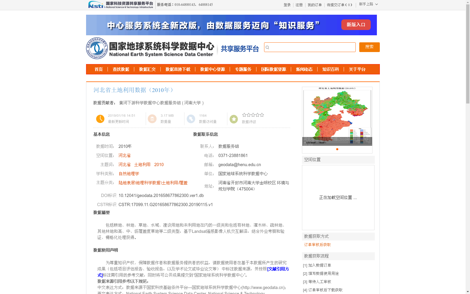
包括耕地、林地、草地、水域、建设用地和未利用地在内的一级类和包括有林地、灌木林、疏林地、其他林地和高、中、低覆盖度草地等二级类型,基于Landsat遥感影像人机交互解译,结合外业考察和验证、栅格化处理获得。
This dataset covers first-level land classification categories such as cultivated land, forest land, grassland, water area, construction land and unused land, as well as second-level subtypes including closed forest land, shrub land, open forest land, other forest land, and grassland with high, medium and low coverage. It was obtained through human-computer interactive interpretation based on Landsat remote sensing images, combined with field surveys and validations, as well as rasterization processing.
提供机构:
河南大学
创建时间:
2019-01-15
搜集汇总
数据集介绍
背景与挑战
背景概述
该数据集为2010年河北省土地利用数据,包含耕地、林地、草地、水域、建设用地和未利用地等一级类及多个二级类型,基于Landsat遥感影像人机交互解译并结合外业考察验证获得。数据适用于自然地理学及土地利用/覆盖研究,需通过订单审核后获取。
以上内容由遇见数据集搜集并总结生成


