福建省30m年地表累积径流量数据集(1995、2000、2005、2010、2015年)
收藏国家地球系统科学数据中心2022-06-10 更新2024-04-21 收录
下载链接:
https://www.geodata.cn/data/datadetails.html?dataguid=18890621628137&docId=8275
下载链接
链接失效反馈官方服务:
资源简介:
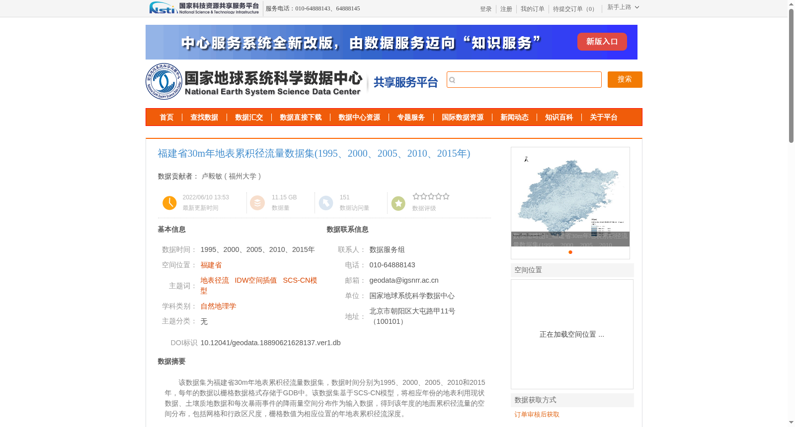
该数据集为福建省30m年地表累积径流量数据集,数据时间分别为1995、2000、2005、2010和2015年,每年的数据以栅格数据格式存储于GDB中。该数据集基于SCS-CN模型,将相应年份的地表利用现状数据、土壤质地数据和每次暴雨事件的降雨量空间分布作为输入数据,得到该年度的地面累积径流量的空间分布,包括网格和行政区尺度,栅格数值为相应位置的年地表累积径流深度。
This dataset is the 30 m annual surface cumulative runoff dataset for Fujian Province, with temporal coverage of 1995, 2000, 2005, 2010 and 2015. Data for each year is stored in raster format within GDB. Developed based on the SCS-CN model, this dataset takes the current land use data, soil texture data and the spatial distribution of rainfall for each rainstorm event of the corresponding year as input parameters, to derive the spatial distribution of annual surface cumulative runoff at both grid and administrative district scales. The raster values represent the annual surface cumulative runoff depth at the corresponding locations.
提供机构:
福州大学
创建时间:
2022-06-10
搜集汇总
数据集介绍
背景与挑战
背景概述
该数据集包含福建省1995、2000、2005、2010和2015年的30米分辨率年地表累积径流量数据,基于SCS-CN模型计算,数据质量可靠,适用于洪水风险分析等研究。
以上内容由遇见数据集搜集并总结生成


