黄山市潜在淹没区数据集(2020)
收藏国家地球系统科学数据中心2020-08-21 更新2024-03-04 收录
下载链接:
https://www.geodata.cn/data/datadetails.html?dataguid=9160735&docId=12227
下载链接
链接失效反馈官方服务:
资源简介:
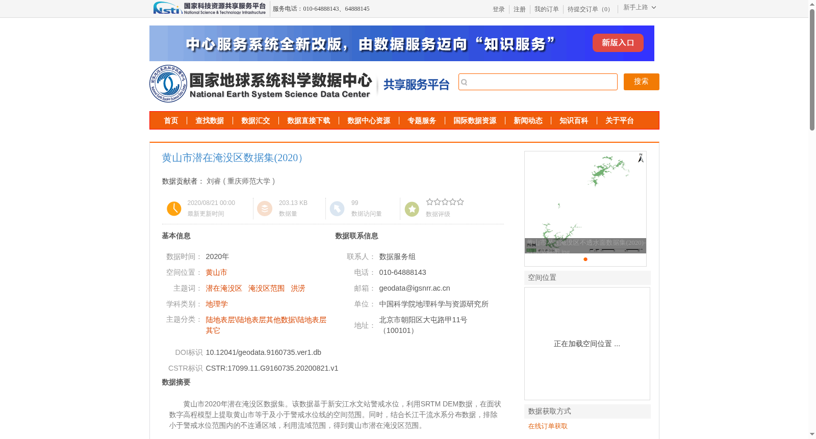
黄山市2020年潜在淹没区数据集。该数据基于新安江水文站警戒水位,利用SRTM DEM数据,在面状数字高程模型上提取黄山市等于及小于警戒水位线的空间范围。同时,结合长江干流水系分布数据,排除小于警戒水位范围内的不连通区域,利用流域范围,得到黄山市潜在淹没区范围。
Huangshan City 2020 Potential Submerged Area Dataset. This dataset is constructed based on the warning water level of the Xin'anjiang Hydrological Station. First, SRTM DEM data is used to extract the spatial extent within Huangshan City that is equal to or lower than the warning water level from the digital elevation model. Then, combined with the distribution data of the Yangtze River main stream water system, disconnected regions within the initially extracted area are excluded. Finally, the final potential submerged area scope of Huangshan City is determined with the aid of the watershed boundary.
提供机构:
重庆师范大学
创建时间:
2020-08-21
搜集汇总
数据集介绍
背景与挑战
背景概述
该数据集为2020年黄山市潜在淹没区范围数据,基于新安江水文站警戒水位和SRTM DEM数据生成,结合长江干流水系分布数据排除不连通区域,得到连续性的潜在洪水淹没区范围。数据采用Albers双纬线圆锥投影,Krasovsky 1940椭球,经过严格的质量审查,确保数据的完整性和准确性。
以上内容由遇见数据集搜集并总结生成


