
NTU VIRAL
收藏资源简介:
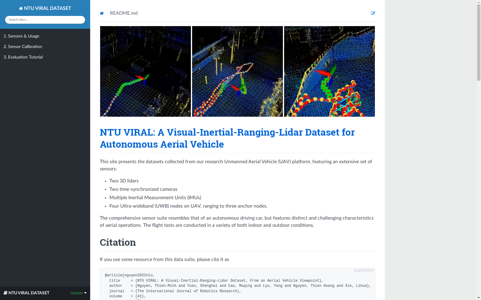
NTU VIRAL数据集是由南洋理工大学创建的,旨在支持自主空中系统的研究。该数据集包含多种传感器数据,包括两个3D激光雷达、两个硬件同步的全局快门相机、多个惯性测量单元(IMUs)以及多个超宽带(UWB)测距单元。这些数据是在多种室内外环境下从空中平台收集的,每个数据包还包括校准结果和高精度激光跟踪器的地面实况。数据集适用于研究在无GPS环境下的自主飞行器导航能力,特别是在极端条件下的视觉惯性测距(VIO)和基于视觉的同时定位与地图构建(SLAM)系统。
The NTU VIRAL Dataset was developed by Nanyang Technological University to support research on autonomous aerial systems. This dataset includes multiple types of sensor data, namely two 3D LiDARs, two hardware-synchronized global shutter cameras, multiple inertial measurement units (IMUs), and multiple ultra-wideband (UWB) ranging units. These data were collected from aerial platforms across various indoor and outdoor environments, and each data packet also includes calibration results and ground truth from a high-precision laser tracker. The dataset is applicable to research on autonomous aerial vehicle navigation capabilities in GPS-denied environments, particularly visual-inertial odometry (VIO) and vision-based simultaneous localization and mapping (SLAM) systems under extreme conditions.
- 1NTU VIRAL: A Visual-Inertial-Ranging-Lidar Dataset, From an Aerial Vehicle Viewpoint南洋理工大学 · 2022年


