河南省1:25万基础地理数据(2015年)
收藏国家地球系统科学数据中心2021-08-23 更新2024-04-21 收录
下载链接:
https://www.geodata.cn/data/datadetails.html?dataguid=274282583881152&docId=10872
下载链接
链接失效反馈官方服务:
资源简介:
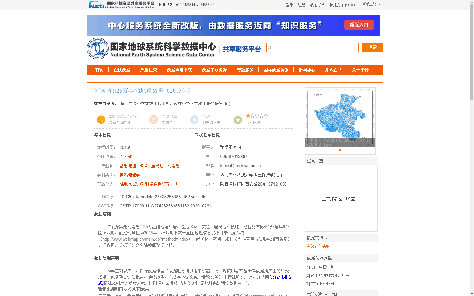
该数据集是河南省1:25万基础地理数据,包括水系、交通、居民地及设施、地名及注记4个数据集9个图层数据,数据现势性为2015年。源数据下载于全国地理信息资源目录服务系统(http://www.webmap.cn/main.do?method=index),经拼接、裁切,拓扑关系检查等方法形成河南省基础地理数据。数据详细含义请参阅数据文档。
This dataset is the 1:250,000-scale fundamental geographic data of Henan Province. It includes 9 layers under 4 datasets, namely hydrographic features, transportation networks, residential areas and supporting facilities, as well as geographical names and annotations. The data has a currency date of 2015. The original source data was downloaded from the National Geospatial Information Resources Catalog Service System (http://www.webmap.cn/main.do?method=index), and was processed into the basic geographic data of Henan Province through operations such as mosaicking, clipping and topological relationship inspection. For detailed explanations of the data, please refer to the accompanying data documentation.
提供机构:
西北农林科技大学水土保持研究所
创建时间:
2020-10-26
搜集汇总
数据集介绍
背景与挑战
背景概述
该数据集是2015年河南省的1:25万比例尺基础地理数据,覆盖河南省区域,属于基础地理信息类别。但详情页中未提供数据的具体内容、要素描述或应用信息,因此无法进一步总结其详细特点。
以上内容由遇见数据集搜集并总结生成


